Transport Functions
Multimodal
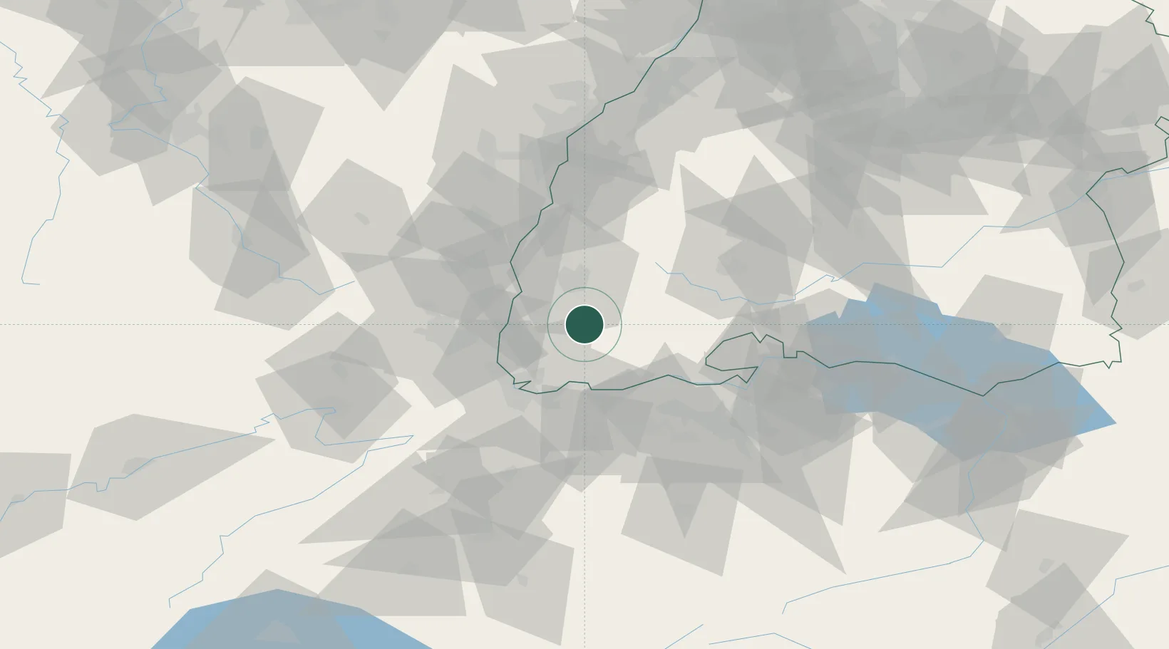
Hub Profile
Place type
Local administrative seat
Region
Baden-Wurttemberg
Population
578
Time zone
Europe/Berlin
Elevation
830 m
Location
Nearby Logistics Neighbours
Cities
- 1Utzenfeld4 km
- 2Schönau im Schwarzwald6 km
- 3Staufen im Breisgau13 km
- 4Ehrenkirchen14 km
- 5Ballrechten14 km
Ports
- 1Genova390 km
- 2Savona394 km
- 3Rada Di Vado399 km
- 4Chiavari - Lavagna408 km
- 5Bruxelles423 km
Airports
- 1EuroAirport Basel–Mulhouse–Freiburg38 km
- 2Colmar Houssen airport50 km
- 3Donaueschingen-Villingen Airfield50 km
- 4Lahr Airport60 km
- 5Zürich Airport65 km
Trade Zones
- 1ZFU Mulhouse42 km
- 2ZFU Neuhof79 km
- 3ZFU Belfort83 km
- 4ZFU Hautepierre86 km
- 5ZFU Montbéliard90 km
DatabookThe Record of Consolidated Knowledge
Germany beyond logistics?