Transport Functions
Multimodal
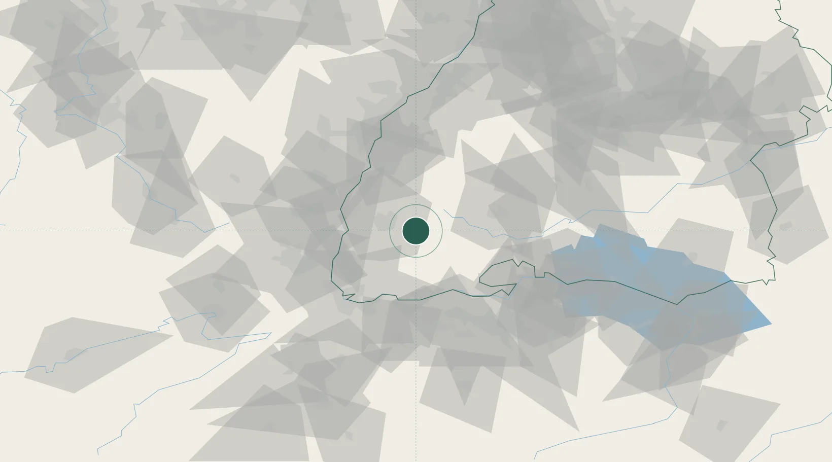
Hub Profile
Place type
Local administrative seat
Region
Baden-Wurttemberg
Population
3,364
Time zone
Europe/Berlin
Elevation
449 m
Location
Nearby Logistics Neighbours
Cities
- 1Kirchzarten5 km
- 2Günterstal11 km
- 3Freiburg im Breisgau13 km
- 4Gütenbach14 km
- 5Gundelfingen15 km
Ports
- 1Genova403 km
- 2Savona408 km
- 3Rada Di Vado413 km
- 4Bruxelles417 km
- 5Chiavari - Lavagna420 km
Airports
- 1Donaueschingen-Villingen Airfield38 km
- 2Lahr Airport47 km
- 3Colmar Houssen airport51 km
- 4EuroAirport Basel–Mulhouse–Freiburg55 km
- 5Zürich Airport69 km
Trade Zones
- 1ZFU Mulhouse56 km
- 2ZFU Neuhof67 km
- 3ZFU Hautepierre74 km
- 4ZFU Belfort97 km
- 5ZFU Montbéliard105 km
DatabookThe Record of Consolidated Knowledge
Germany beyond logistics?