Transport Functions
Rail
Road
Multimodal
Hub Profile
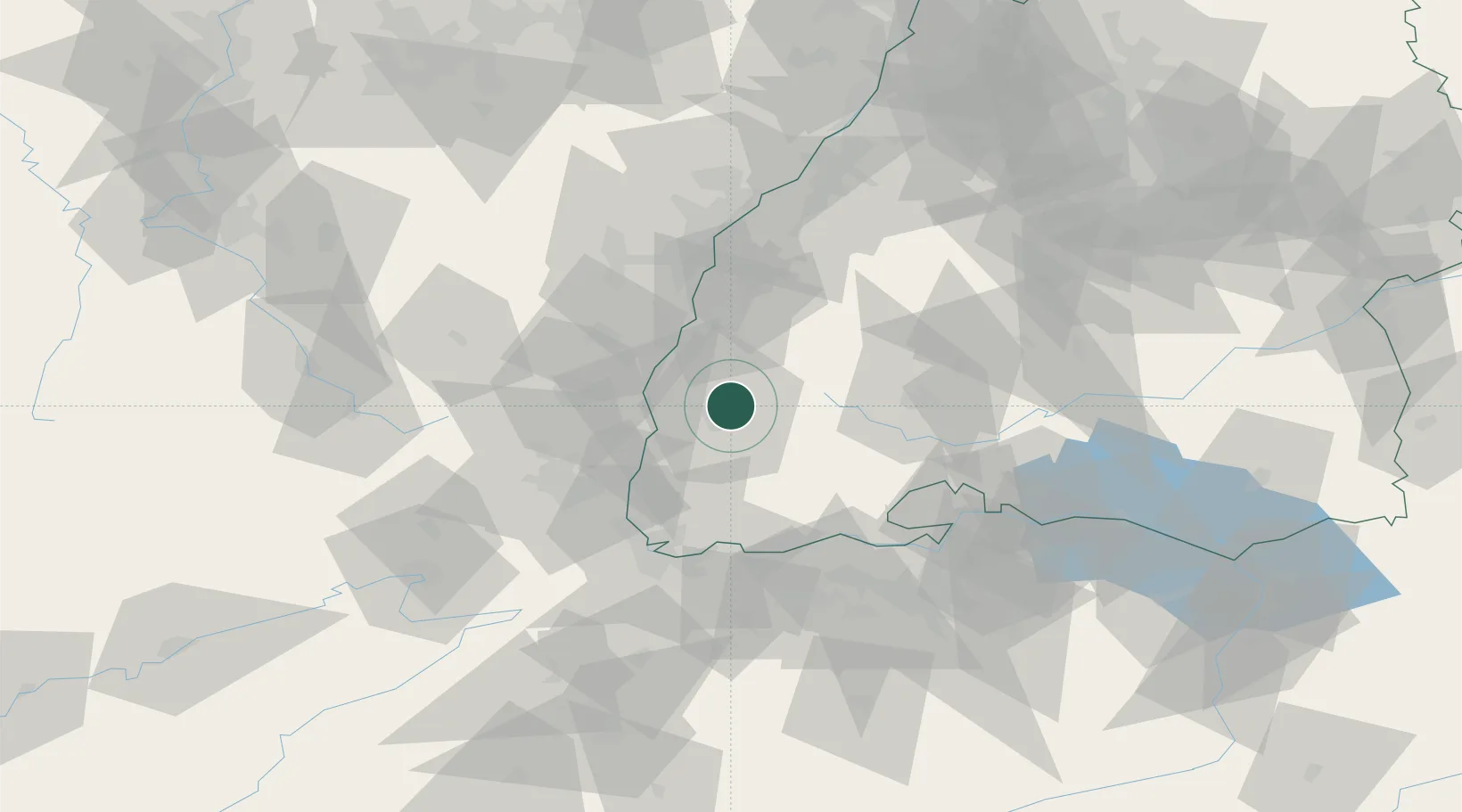
Place type
Local administrative seat
Region
Baden-Wurttemberg
Population
11,563
Time zone
Europe/Berlin
Elevation
235 m
Location
Nearby Logistics Neighbours
Cities
- 1Freiburg im Breisgau6 km
- 2Günterstal9 km
- 3Kirchzarten11 km
- 4Bahlingen Am Kaiserstuhl12 km
- 5Bahlingen12 km
Ports
- 1Bruxelles403 km
- 2Genova414 km
- 3Savona418 km
- 4Rada Di Vado423 km
- 5Chiavari - Lavagna431 km
Airports
- 1Lahr Airport36 km
- 2Colmar Houssen airport38 km
- 3Donaueschingen-Villingen Airfield50 km
- 4EuroAirport Basel–Mulhouse–Freiburg56 km
- 5Strasbourg Airport57 km
Trade Zones
- 1ZFU Mulhouse52 km
- 2ZFU Neuhof55 km
- 3ZFU Hautepierre62 km
- 4ZFU Belfort91 km
- 5ZFU Montbéliard101 km
DatabookThe Record of Consolidated Knowledge
Germany beyond logistics?