Transport Functions
Road
Multimodal
Hub Profile
Place type
Urban district
Region
Baden-Wurttemberg
Time zone
Europe/Berlin
Elevation
345 m
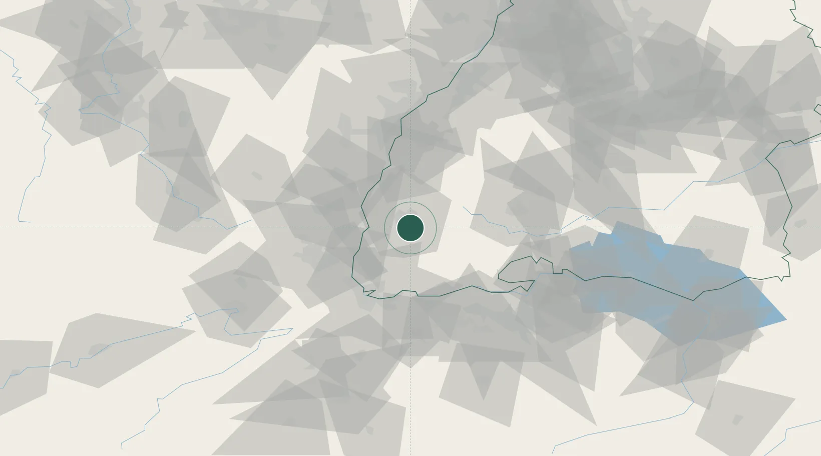
Location
Nearby Logistics Neighbours
Cities
- 1Freiburg im Breisgau4 km
- 2Kirchzarten6 km
- 3Gundelfingen9 km
- 4Ehrenkirchen10 km
- 5Buchenbach11 km
Ports
- 1Genova405 km
- 2Savona409 km
- 3Bruxelles411 km
- 4Rada Di Vado414 km
- 5Chiavari - Lavagna422 km
Airports
- 1Colmar Houssen airport41 km
- 2Lahr Airport45 km
- 3EuroAirport Basel–Mulhouse–Freiburg48 km
- 4Donaueschingen-Villingen Airfield49 km
- 5Strasbourg Airport66 km
Trade Zones
- 1ZFU Mulhouse46 km
- 2ZFU Neuhof64 km
- 3ZFU Hautepierre71 km
- 4ZFU Belfort87 km
- 5ZFU Montbéliard96 km
DatabookThe Record of Consolidated Knowledge
Germany beyond logistics?