Transport Functions
Rail
Road
Hub Profile
Region
BW
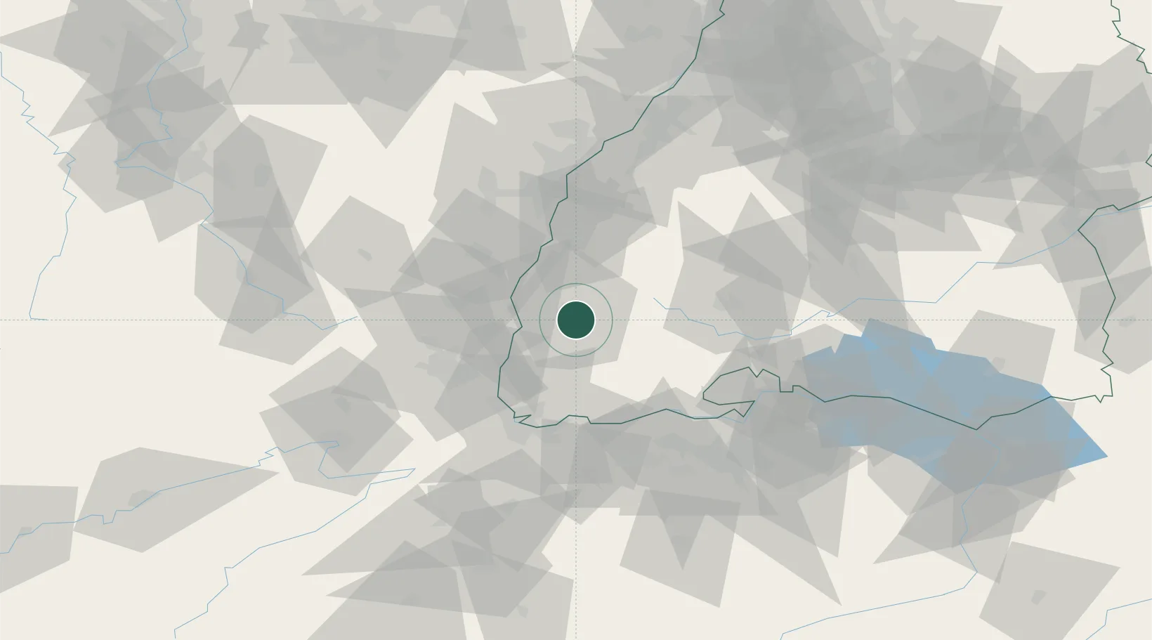
Location
Nearby Logistics Neighbours
Cities
- 1Günterstal4 km
- 2Gundelfingen6 km
- 3Kirchzarten8 km
- 4Ehrenkirchen12 km
- 5Buchenbach13 km
Ports
- 1Bruxelles407 km
- 2Genova409 km
- 3Savona413 km
- 4Rada Di Vado418 km
- 5Chiavari - Lavagna426 km
Airports
- 1Colmar Houssen airport39 km
- 2Lahr Airport41 km
- 3Donaueschingen-Villingen Airfield50 km
- 4EuroAirport Basel–Mulhouse–Freiburg51 km
- 5Strasbourg Airport62 km
Trade Zones
- 1ZFU Mulhouse47 km
- 2ZFU Neuhof60 km
- 3ZFU Hautepierre67 km
- 4ZFU Belfort87 km
- 5ZFU Montbéliard97 km
DatabookThe Record of Consolidated Knowledge
Germany beyond logistics?