Transport Functions
Rail
Road
Hub Profile
Region
RP
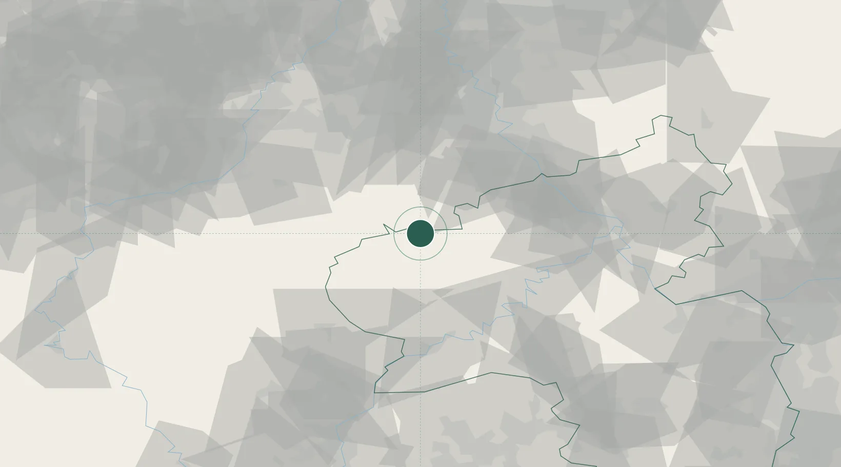
Location
Nearby Logistics Neighbours
Cities
- 1Dahlem6 km
- 2Oberbettingen7 km
- 3Blankenheim12 km
- 4Pelm13 km
- 5Weinsheim14 km
Airports
- 1Büchel Air Base39 km
- 2Spangdahlem Air Base41 km
- 3Nörvenich Air Base56 km
- 4Frankfurt-Hahn Airport65 km
- 5Cologne Bonn Airport71 km
Trade Zones
- 1Rheinische Revier SWZ66 km
- 2Luxembourg Free Port81 km
- 3Freeport of Duisburg124 km
- 4ZFU La Cité Behren-lès-Forbach132 km
- 5ZFU Woippy-Metz135 km
DatabookThe Record of Consolidated Knowledge
Germany beyond logistics?