Transport Functions
Rail
Road
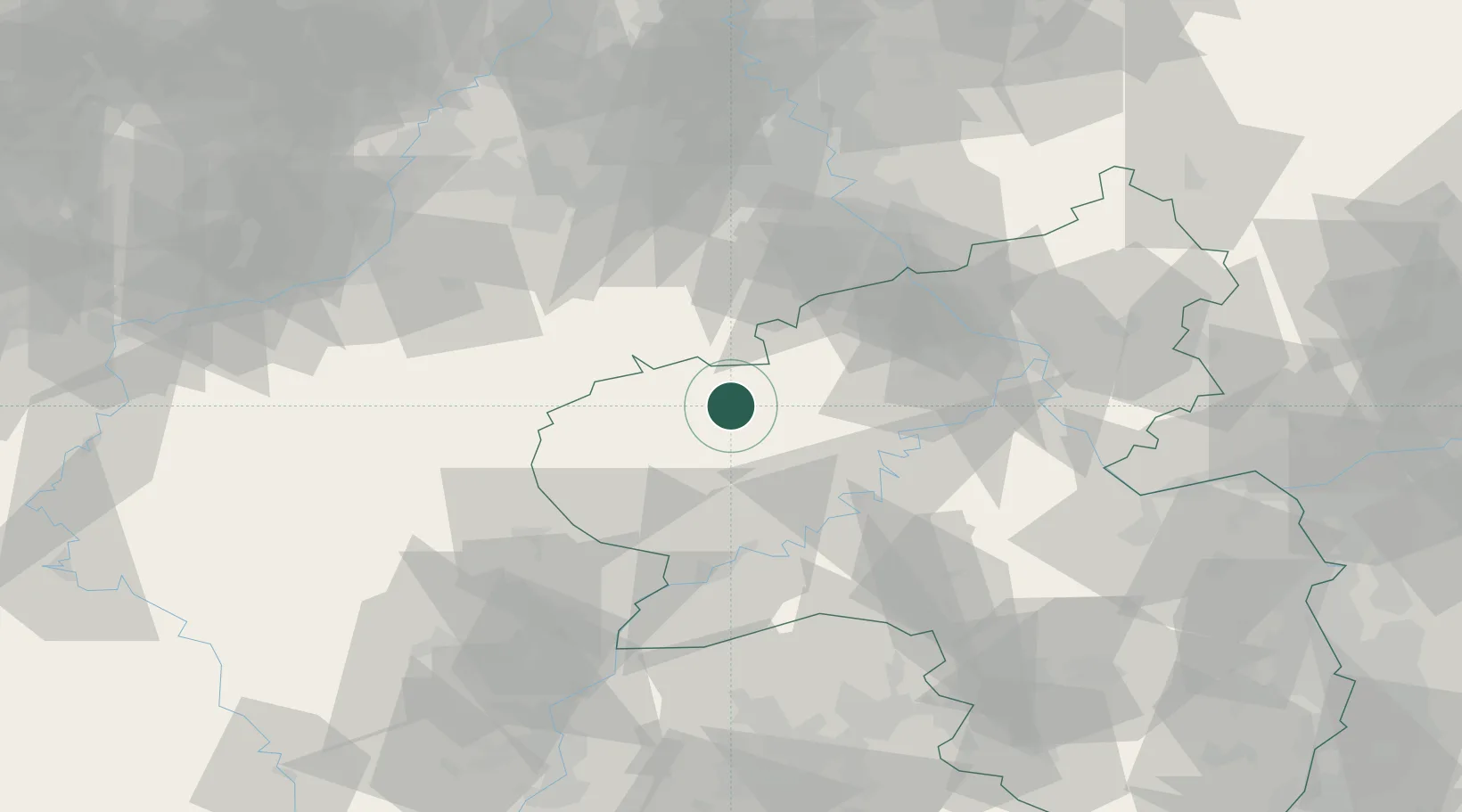
Hub Profile
Place type
Local administrative seat
Region
Rheinland-Pfalz
Population
1,047
Time zone
Europe/Berlin
Elevation
385 m
Location
Nearby Logistics Neighbours
Cities
- 1Oberbettingen7 km
- 2Dreis-Brück7 km
- 3Pützborn11 km
- 4Jünkerath13 km
- 5Neichen14 km
Airports
- 1Büchel Air Base28 km
- 2Spangdahlem Air Base29 km
- 3Frankfurt-Hahn Airport52 km
- 4Nörvenich Air Base67 km
- 5Luxembourg-Findel International Airport75 km
Trade Zones
- 1Luxembourg Free Port74 km
- 2Rheinische Revier SWZ78 km
- 3ZFU La Cité Behren-lès-Forbach120 km
- 4ZFU Woippy-Metz126 km
- 5ZFU Metz131 km
DatabookThe Record of Consolidated Knowledge
Germany beyond logistics?