Transport Functions
Multimodal
Hub Profile
Place type
Local administrative seat
Region
Rheinland-Pfalz
Population
1,046
Time zone
Europe/Berlin
Elevation
600 m
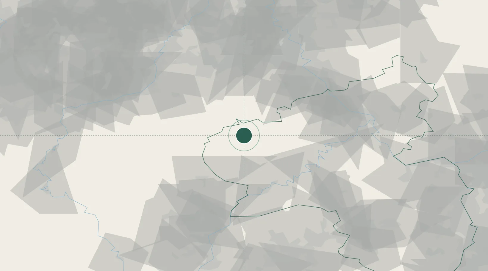
Location
Nearby Logistics Neighbours
Cities
- 1Watzerath10 km
- 2Pronsfeld12 km
- 3Oberbettingen13 km
- 4Jünkerath14 km
- 5Lünebach14 km
Airports
- 1Spangdahlem Air Base33 km
- 2Büchel Air Base43 km
- 3Frankfurt-Hahn Airport65 km
- 4Nörvenich Air Base68 km
- 5Luxembourg-Findel International Airport70 km
Trade Zones
- 1Luxembourg Free Port68 km
- 2Rheinische Revier SWZ75 km
- 3ZFU Woippy-Metz123 km
- 4ZFU La Cité Behren-lès-Forbach123 km
- 5ZFU Metz127 km
DatabookThe Record of Consolidated Knowledge
Germany beyond logistics?