Transport Functions
Rail
Road
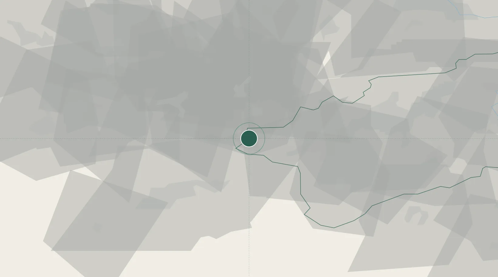
Hub Profile
Place type
Populated place
Region
Saxony
Time zone
Europe/Berlin
Elevation
816 m
Location
Nearby Logistics Neighbours
Cities
- 1Jöhstadt9 km
- 2Bozí Dar9 km
- 3Königswalde11 km
- 4Schlettau14 km
- 5Ostrov16 km
Ports
- 1Szczecin346 km
- 2Police362 km
- 3Swinoujscie395 km
- 4Wismar398 km
- 5Wolgast404 km
Airports
- 1Karlovy Vary Airport28 km
- 2Leipzig–Altenburg Airport69 km
- 3Hof-Plauen Airport85 km
- 4Plzeň-Líně Airport88 km
- 5Dresden Airport93 km
Trade Zones
DatabookThe Record of Consolidated Knowledge
Germany beyond logistics?