Transport Functions
Multimodal
Hub Profile
Place type
Urban district
Region
Schleswig-Holstein
Time zone
Europe/Berlin
Elevation
43 m
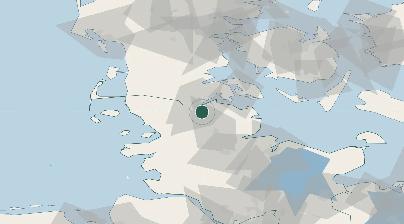
Location
Nearby Logistics Neighbours
Cities
- 1Flensburg5 km
- 2Padborg11 km
- 3Glücksburg13 km
- 4Langballig15 km
- 5Jübek21 km
Ports
- 1Flensburg7 km
- 2Sonderborg30 km
- 3Ensted32 km
- 4Kappeln33 km
- 5Abenra35 km
Airports
- 1Schleswig Air Base31 km
- 2Sønderborg Airport34 km
- 3Hohn Air Base47 km
- 4Skrydstrup Air Base55 km
- 5Kiel-Holtenau Airport61 km
Trade Zones
DatabookThe Record of Consolidated Knowledge
Germany beyond logistics?