Transport Functions
Multimodal
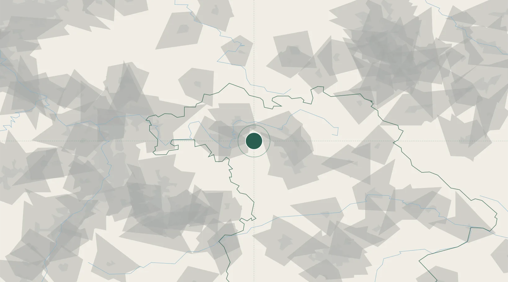
Hub Profile
Place type
Populated place
Region
Bavaria
Population
2,412
Time zone
Europe/Berlin
Elevation
348 m
Location
Nearby Logistics Neighbours
Cities
- 1Ebrach8 km
- 2Burghaslach10 km
- 3Burgwindheim11 km
- 4Schlüsselfeld12 km
- 5Iphofen16 km
Airports
- 1Bamberg-Breitenau Airfield36 km
- 2Nuremberg Airport53 km
- 3Niederstetten Army Air Base56 km
- 4Adolf Würth Airport87 km
- 5Bayreuth Airport88 km
Trade Zones
- 1Freeport of Deggendorf204 km
- 2Podbořany Industrial Zone216 km
- 3Žatec - Triangle Strategic Industrial Zone229 km
- 4ZFU Neuhof239 km
- 5Most - Joseph Industrial Zone240 km
DatabookThe Record of Consolidated Knowledge
Germany beyond logistics?