Transport Functions
Multimodal
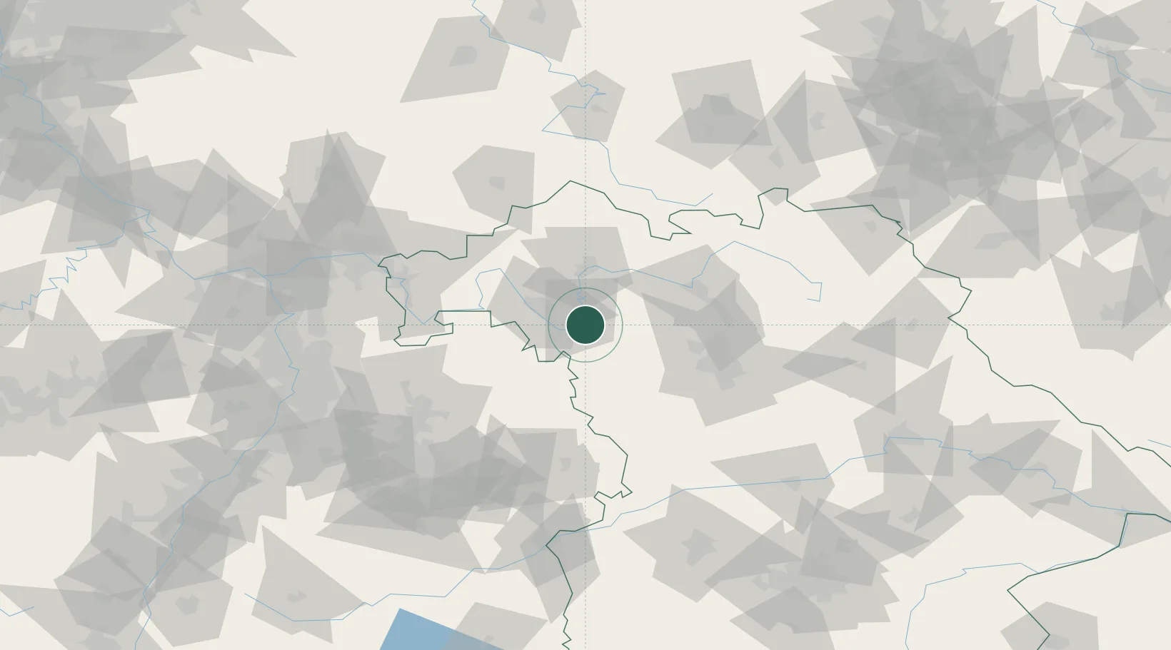
Hub Profile
Place type
Populated place
Region
Bavaria
Population
2,294
Time zone
Europe/Berlin
Elevation
221 m
Location
Nearby Logistics Neighbours
Cities
- 1Iphofen5 km
- 2Sommerhausen13 km
- 3Ochsenfurt13 km
- 4Effeldorf15 km
- 5Euerfeld15 km
Airports
- 1Niederstetten Army Air Base39 km
- 2Bamberg-Breitenau Airfield56 km
- 3Nuremberg Airport66 km
- 4Adolf Würth Airport72 km
- 5Bayreuth Airport107 km
Trade Zones
- 1Freeport of Deggendorf217 km
- 2ZFU Neuhof220 km
- 3ZFU Hautepierre221 km
- 4Podbořany Industrial Zone235 km
- 5ZFU La Cité Behren-lès-Forbach245 km
DatabookThe Record of Consolidated Knowledge
Germany beyond logistics?