Transport Functions
Rail
Road
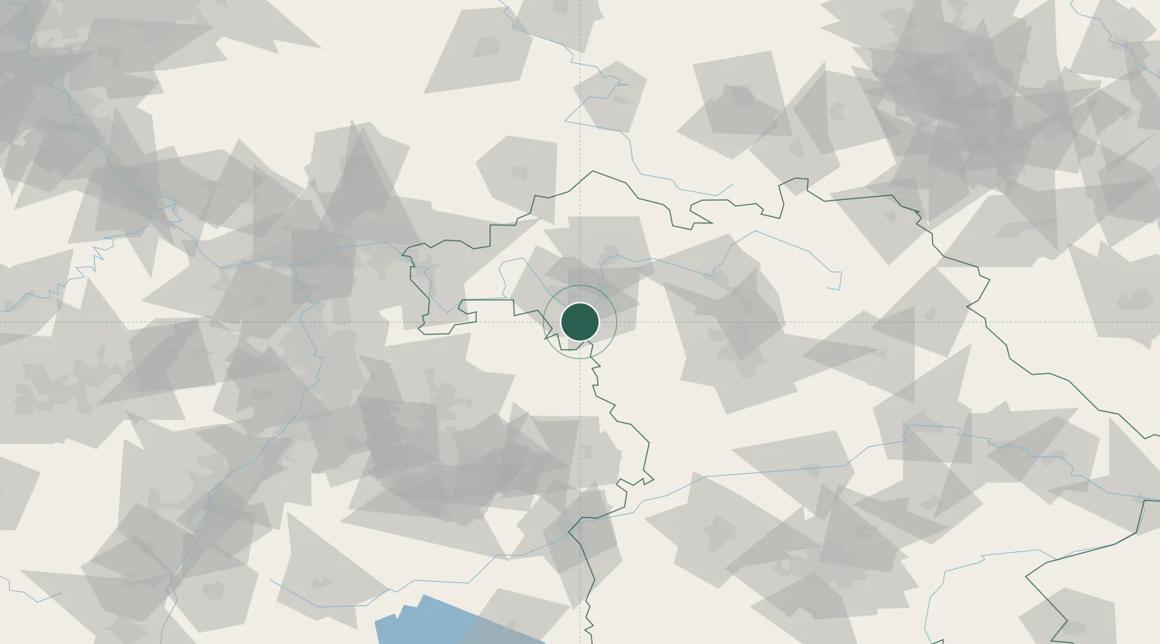
Hub Profile
Place type
Populated place
Region
Bavaria
Population
11,492
Time zone
Europe/Berlin
Elevation
190 m
Location
Nearby Logistics Neighbours
Cities
- 1Gaukönigshofen4 km
- 2Sommerhausen6 km
- 3Eibelstadt9 km
- 4Mainbernheim13 km
- 5Gollhofen14 km
Airports
- 1Niederstetten Army Air Base30 km
- 2Adolf Würth Airport62 km
- 3Bamberg-Breitenau Airfield69 km
- 4Nuremberg Airport76 km
- 5Frankfurt-Egelsbach Airport107 km
Trade Zones
- 1ZFU Neuhof207 km
- 2ZFU Hautepierre208 km
- 3Freeport of Deggendorf226 km
- 4ZFU La Cité Behren-lès-Forbach232 km
- 5Podbořany Industrial Zone248 km
DatabookThe Record of Consolidated Knowledge
Germany beyond logistics?