Transport Functions
Road
Multimodal
Hub Profile
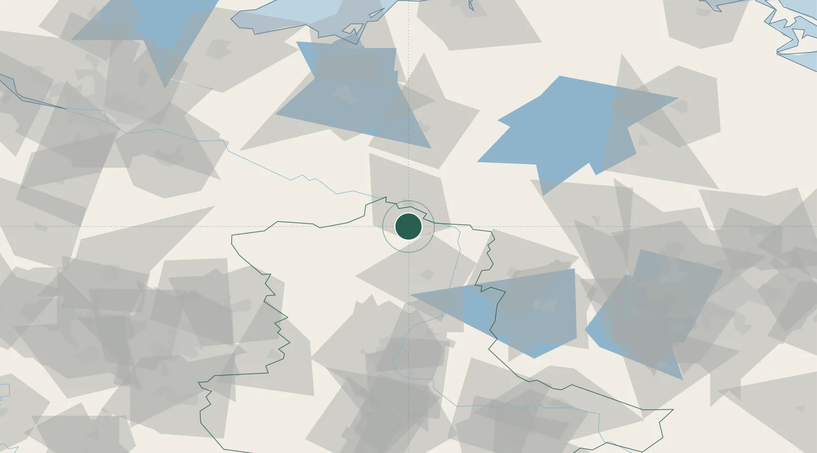
Place type
Populated place
Region
Saxony-Anhalt
Population
4,355
Time zone
Europe/Berlin
Elevation
22 m
Location
Nearby Logistics Neighbours
Cities
- 1Neulingen14 km
- 2Wittenberge15 km
- 3Cumlosen16 km
- 4Arendsee18 km
- 5Schnackenburg21 km
Ports
- 1Wismar115 km
- 2Lubeck131 km
- 3Lubeck-Travemunde133 km
- 4Rostock138 km
- 5Hamburg142 km
Airports
- 1Zerbst Airfield102 km
- 2Braunschweig-Wolfsburg Airport102 km
- 3Faßberg Air Base105 km
- 4Rostock-Laage Airport120 km
- 5Celle Army Airfield121 km
Trade Zones
- 1Freeport of Kiel192 km
- 2Kostrzyń-Słubice SEZ197 km
- 3Szczecin Duty Free Zone197 km
- 4Freeport of Bremerhaven (Freihafen Bremerhaven)201 km
- 5Swinoujscie Duty Free Zone202 km
DatabookThe Record of Consolidated Knowledge
Germany beyond logistics?