Transport Functions
Port
Multimodal
Hub Profile
Region
NW
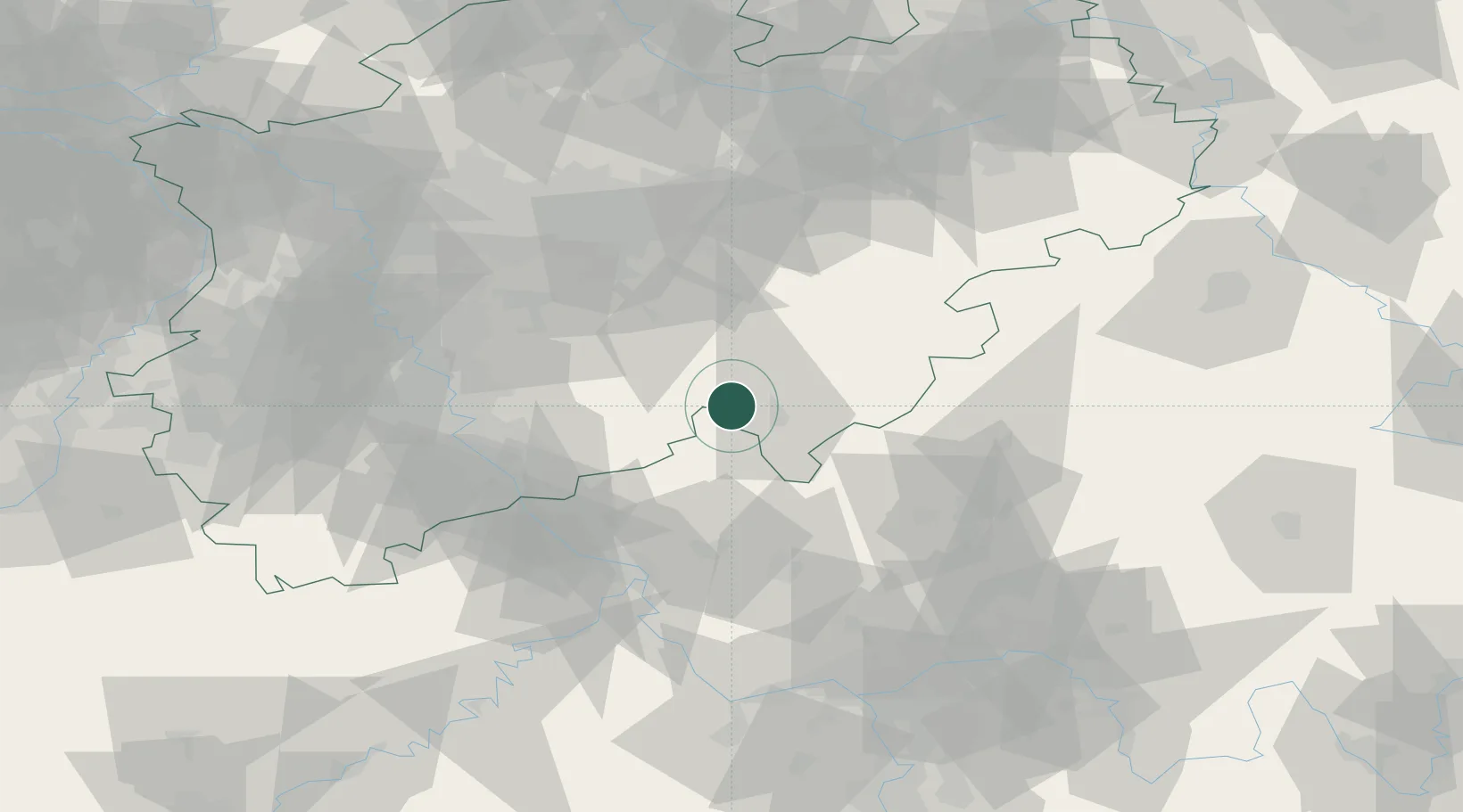
Location
Nearby Logistics Neighbours
Cities
- 1Freudenberg4 km
- 2Olpe11 km
- 3Kirchen an der Sieg15 km
- 4Alsdorf, Altenkirchen17 km
- 5Schutzbach20 km
Airports
- 1Siegerland Airport29 km
- 2Cologne Bonn Airport53 km
- 3Dortmund Airport68 km
- 4Nörvenich Air Base87 km
- 5Düsseldorf Airport87 km
Trade Zones
- 1Rheinische Revier SWZ105 km
- 2Freeport of Duisburg107 km
- 3Luxembourg Free Port186 km
- 4ZFU La Cité Behren-lès-Forbach208 km
- 5ZFU Woippy-Metz234 km
DatabookThe Record of Consolidated Knowledge
Germany beyond logistics?