Transport Functions
Rail
Road
Hub Profile
Place type
Populated place
Region
North Rhine-Westphalia
Population
18,601
Time zone
Europe/Berlin
Elevation
297 m
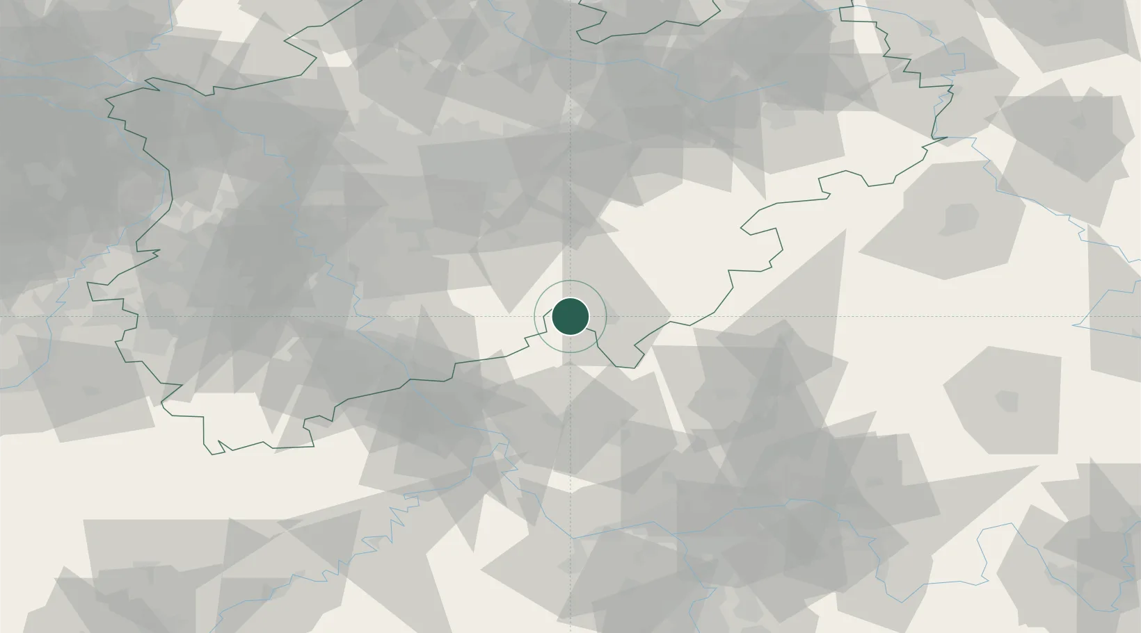
Location
Nearby Logistics Neighbours
Cities
- 1Hünsborn4 km
- 2Kirchen an der Sieg11 km
- 3Alsdorf, Altenkirchen13 km
- 4Olpe15 km
- 5Schutzbach17 km
Airports
- 1Siegerland Airport26 km
- 2Cologne Bonn Airport51 km
- 3Dortmund Airport71 km
- 4Nörvenich Air Base85 km
- 5Düsseldorf Airport88 km
Trade Zones
- 1Rheinische Revier SWZ104 km
- 2Freeport of Duisburg108 km
- 3Luxembourg Free Port183 km
- 4ZFU La Cité Behren-lès-Forbach204 km
- 5ZFU Woippy-Metz230 km
DatabookThe Record of Consolidated Knowledge
Germany beyond logistics?