Transport Functions
Road
Multimodal
Hub Profile
Place type
Populated place
Region
Baden-Wurttemberg
Time zone
Europe/Berlin
Elevation
613 m
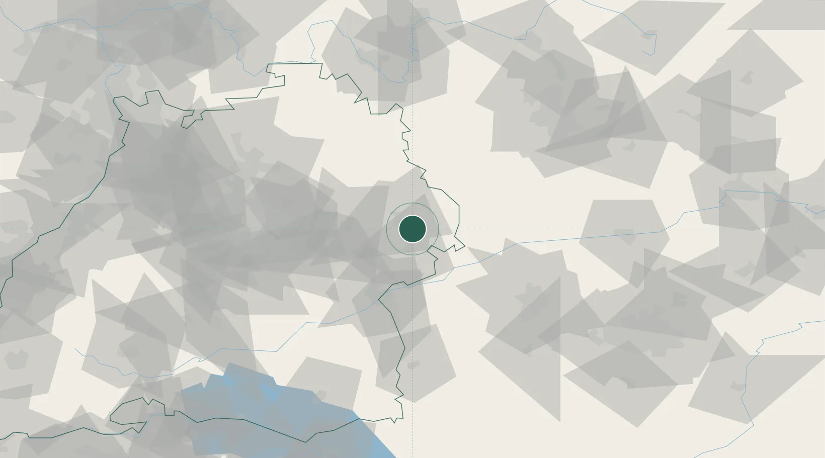
Location
Nearby Logistics Neighbours
Cities
- 1Oberkochen6 km
- 2Hohenlohe8 km
- 3Steinweiler10 km
- 4Hüttlingen11 km
- 5Heidenheim an der Brenz13 km
Ports
- 1Nogaro406 km
- 2Porto Di Lido-Venezia413 km
- 3Grado417 km
- 4Monfalcone421 km
- 5Porto Di Chioggia428 km
Airports
- 1Adolf Würth Airport46 km
- 2Laupheim Air Base68 km
- 3Niederstetten Army Air Base68 km
- 4Augsburg Airport69 km
- 5Stuttgart Airport72 km
Trade Zones
- 1ZFU Neuhof180 km
- 2ZFU Hautepierre184 km
- 3Freeport of Deggendorf199 km
- 4ZFU Mulhouse241 km
- 5ZFU La Cité Behren-lès-Forbach241 km
DatabookThe Record of Consolidated Knowledge
Germany beyond logistics?