UN/LOCODE hub · Germany
DENEL

Neuland/Elbe

53.7500°, 9.3333°
2
Transport functions

Transport Functions

Port
Road
UN/LOCODE

Hub Profile

Region
NI
GeoNames

Location

Location of DENEL
Natural Earth 10m (public domain) · NI · DENEL · 53.75, 9.33GoogleOSMYandex

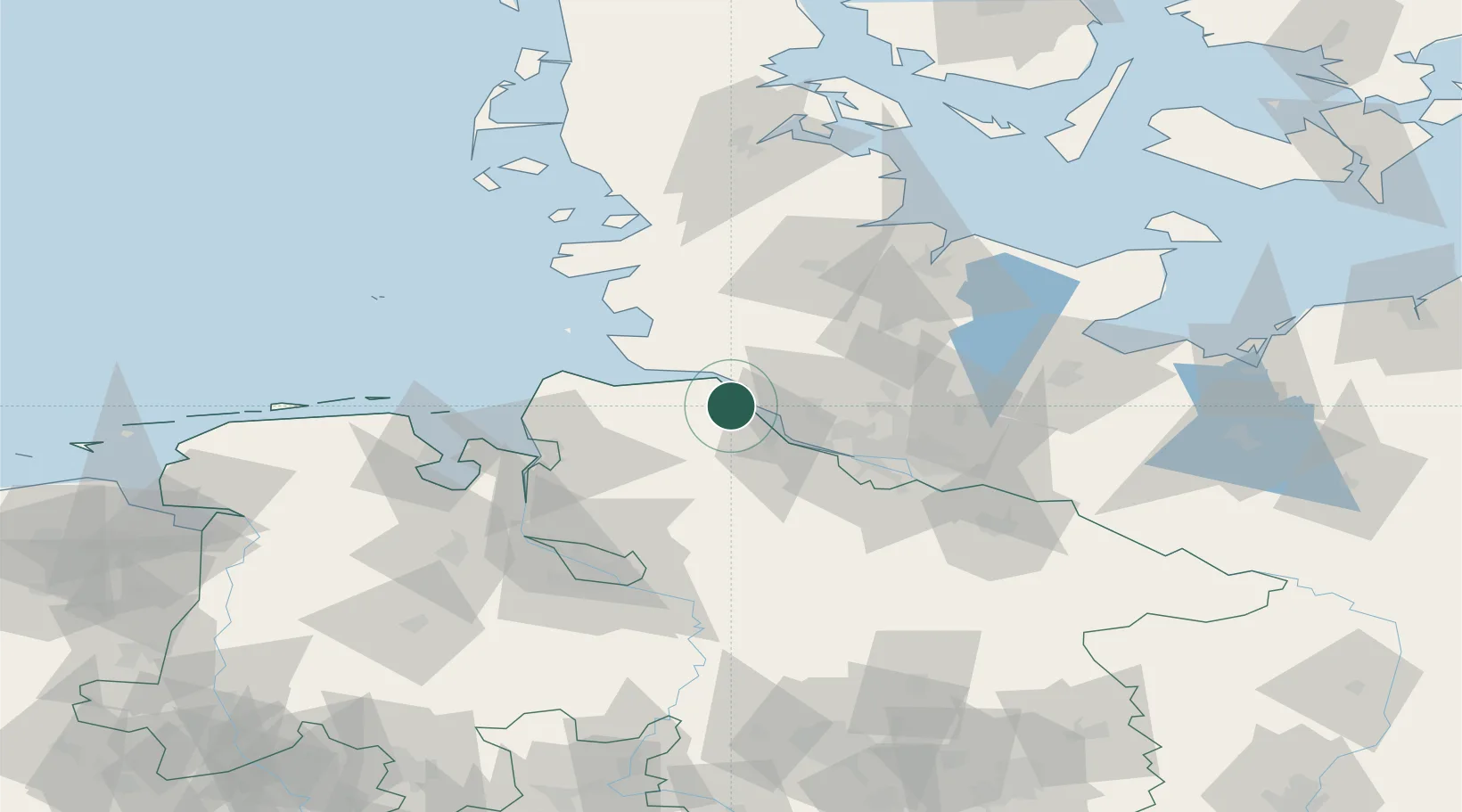
Nearby Logistics Neighbours

Cities
  1. 1Krautsand3 km
  2. 2Wischhafen4 km
  3. 3Drochtersen7 km
  4. 4Ritsch8 km
  5. 5Königsmoor9 km
Nearest neighbours — logibook spatial index (haversine) over the source coordinates
Ports
  1. 1Gluckstadt7 km
  2. 2Butzfleth16 km
  3. 3Brunsbuttel Elbahafen18 km
  4. 4Neuhaus21 km
  5. 5Itzehoe22 km
Nearest neighbours — logibook spatial index (haversine) over the source coordinates
Airports
  1. 1Uetersen-Heist Airfield27 km
  2. 2Hamburg-Finkenwerder Airport41 km
  3. 3Sea-Airport Cuxhaven/Nordholz / Nordholz Naval Airbase44 km
  4. 4Hamburg Helmut Schmidt Airport45 km
  5. 5Heide-Büsum Airport53 km
Nearest neighbours — logibook spatial index (haversine) over the source coordinates
Trade Zones
  1. 1Freeport of Cuxhaven (Freihafen Cuxhaven)51 km
  2. 2Freeport of Bremerhaven (Freihafen Bremerhaven)82 km
  3. 3Freeport of Kiel85 km
  4. 4Freeport of Emden149 km
  5. 5Freeport of Copenhagen- Nordhavn303 km
Nearest neighbours — logibook spatial index (haversine) over the source coordinates
DatabookThe Record of Consolidated Knowledge
Germany beyond logistics?
Browse databook

All Sources

LocationsUN/LOCODE
UN/LOCODE — free
Portsthe NGA World Port Index
Public domain (US gov)
AirportsOurAirports
Public domain
Trade Zonesthe World Bank SEZ database
CC BY 4.0
Trade ZonesOpen Zone Map
CC BY
← Germany locations