Transport Functions
Port
Road
Hub Profile
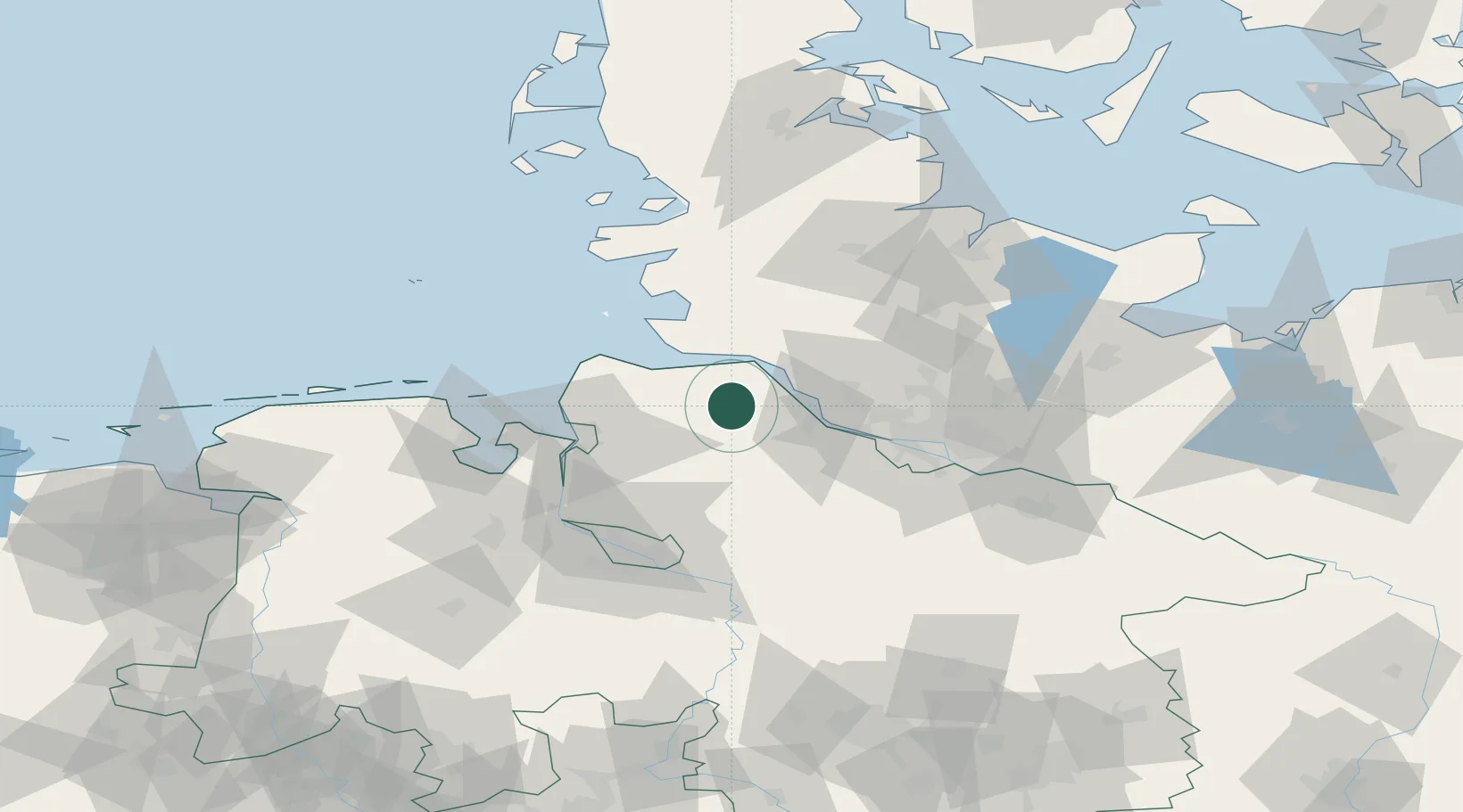
Place type
Populated place
Region
Lower Saxony
Time zone
Europe/Berlin
Elevation
9 m
Location
Nearby Logistics Neighbours
Cities
- 1Hemmoor5 km
- 2Burweg9 km
- 3Himmelpforten11 km
- 4Königsmoor11 km
- 5Neuland/Elbe12 km
Ports
- 1Neuhaus16 km
- 2Gluckstadt19 km
- 3Brunsbuttel Elbahafen22 km
- 4Butzfleth22 km
- 5Itzehoe34 km
Airports
Trade Zones
DatabookThe Record of Consolidated Knowledge
Germany beyond logistics?