UN/LOCODE hub · Germany
DEBWW

Burweg

53.6167°, 9.2667°
989
Population
1
Transport functions

Transport Functions

Multimodal
UN/LOCODE

Hub Profile

Place type
Local administrative seat
GeoNames
Region
Lower Saxony
GeoNames
Population
989
GeoNames
Time zone
Europe/Berlin
GeoNames
Elevation
2 m
GeoNames

Location

Location of DEBWW
Natural Earth 10m (public domain) · Lower Saxony · DEBWW · 53.62, 9.27GoogleOSMYandex

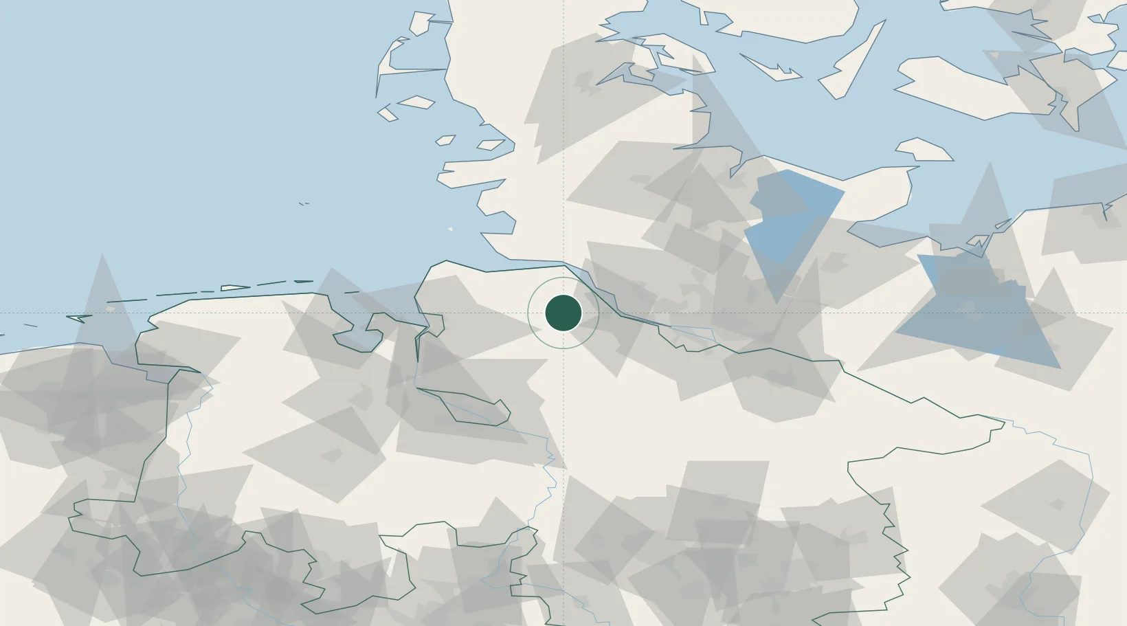
Nearby Logistics Neighbours

Cities
  1. 1Himmelpforten2 km
  2. 2Düdenbüttel7 km
  3. 3Königsmoor8 km
  4. 4Forst9 km
  5. 5Basbeck9 km
Nearest neighbours — logibook spatial index (haversine) over the source coordinates
Ports
  1. 1Butzfleth17 km
  2. 2Gluckstadt21 km
  3. 3Neuhaus26 km
  4. 4Brunsbuttel Elbahafen30 km
  5. 5Itzehoe37 km
Nearest neighbours — logibook spatial index (haversine) over the source coordinates
Airports
  1. 1Uetersen-Heist Airfield29 km
  2. 2Hamburg-Finkenwerder Airport39 km
  3. 3Sea-Airport Cuxhaven/Nordholz / Nordholz Naval Airbase43 km
  4. 4Hamburg Helmut Schmidt Airport48 km
  5. 5Heide-Büsum Airport64 km
Nearest neighbours — logibook spatial index (haversine) over the source coordinates
Trade Zones
  1. 1Freeport of Cuxhaven (Freihafen Cuxhaven)52 km
  2. 2Freeport of Bremerhaven (Freihafen Bremerhaven)67 km
  3. 3Freeport of Kiel99 km
  4. 4Freeport of Emden141 km
  5. 5Freeport of Duisburg302 km
Nearest neighbours — logibook spatial index (haversine) over the source coordinates
DatabookThe Record of Consolidated Knowledge
Germany beyond logistics?
Browse databook

All Sources

LocationsUN/LOCODE
UN/LOCODE — free
LocationsGeoNames
CC BY 4.0
Portsthe NGA World Port Index
Public domain (US gov)
AirportsOurAirports
Public domain
Trade Zonesthe World Bank SEZ database
CC BY 4.0
Trade ZonesOpen Zone Map
CC BY
← Germany locations