Transport Functions
Rail
Road
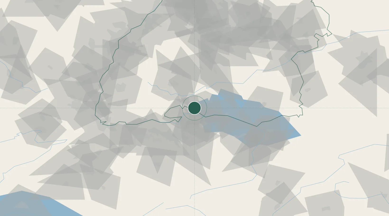
Hub Profile
Place type
Local administrative seat
Region
Baden-Wurttemberg
Population
8,258
Time zone
Europe/Berlin
Elevation
468 m
Location
Nearby Logistics Neighbours
Cities
- 1Mühlhausen-Ehingen7 km
- 2Singen8 km
- 3Engen9 km
- 4Malmsheim12 km
- 5Steisslingen13 km
Ports
- 1Genova375 km
- 2Porto Di Lido-Venezia383 km
- 3Savona384 km
- 4Chiavari - Lavagna387 km
- 5Rada Di Vado390 km
Airports
Trade Zones
- 1ZFU Mulhouse107 km
- 2ZFU Neuhof114 km
- 3ZFU Hautepierre122 km
- 4ZFU Belfort147 km
- 5ZFU Montbéliard151 km
DatabookThe Record of Consolidated Knowledge
Germany beyond logistics?