UN/LOCODE hub · Germany
DEMHU
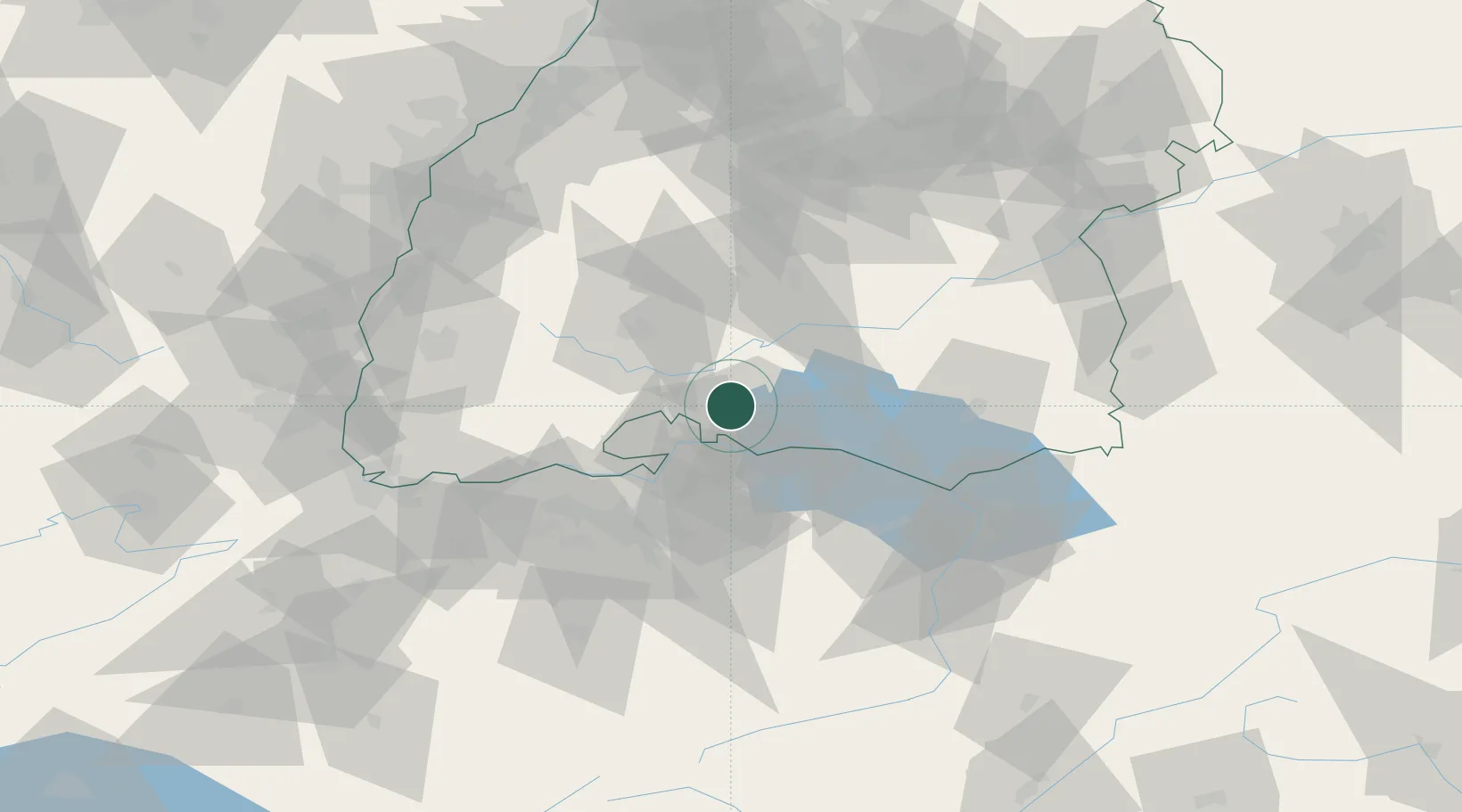
Mühlhausen-Ehingen
47.8167°, 8.8167°
3,669
Population
2
Transport functions
Transport Functions
Rail
Road
Hub Profile
Place type
Local administrative seat
Region
Baden-Wurttemberg
Population
3,669
Time zone
Europe/Berlin
Elevation
455 m
Location
Nearby Logistics Neighbours
Cities
- 1Engen5 km
- 2Hilzingen7 km
- 3Singen8 km
- 4Malmsheim8 km
- 5Eigeltingen8 km
Ports
- 1Genova380 km
- 2Porto Di Lido-Venezia384 km
- 3Savona390 km
- 4Porto Di Chioggia392 km
- 5Chiavari - Lavagna392 km
Airports
Trade Zones
- 1ZFU Mulhouse111 km
- 2ZFU Neuhof112 km
- 3ZFU Hautepierre120 km
- 4ZFU Belfort152 km
- 5ZFU Montbéliard156 km
DatabookThe Record of Consolidated Knowledge
Germany beyond logistics?