Transport Functions
Rail
Road
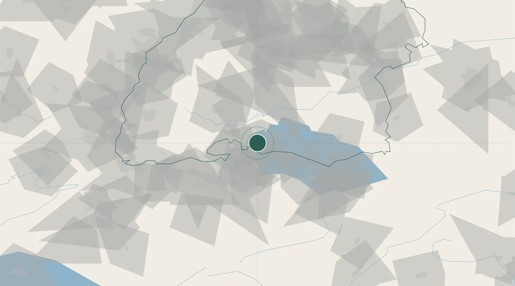
Hub Profile
Place type
Populated place
Region
Baden-Wurttemberg
Population
48,033
Time zone
Europe/Berlin
Elevation
436 m
Logistics facilities
1
Location
Nearby Logistics Neighbours
Cities
- 1Malmsheim6 km
- 2Steisslingen7 km
- 3Mühlhausen-Ehingen8 km
- 4Hilzingen8 km
- 5Orsingen-Nenzingen11 km
Ports
- 1Genova374 km
- 2Porto Di Lido-Venezia377 km
- 3Savona384 km
- 4Porto Di Chioggia385 km
- 5Chiavari - Lavagna386 km
Airports
Trade Zones
- 1ZFU Mulhouse115 km
- 2ZFU Neuhof120 km
- 3ZFU Hautepierre127 km
- 4ZFU Belfort155 km
- 5ZFU Montbéliard159 km
DatabookThe Record of Consolidated Knowledge
Germany beyond logistics?