UN/LOCODE hub · Germany
DELAD
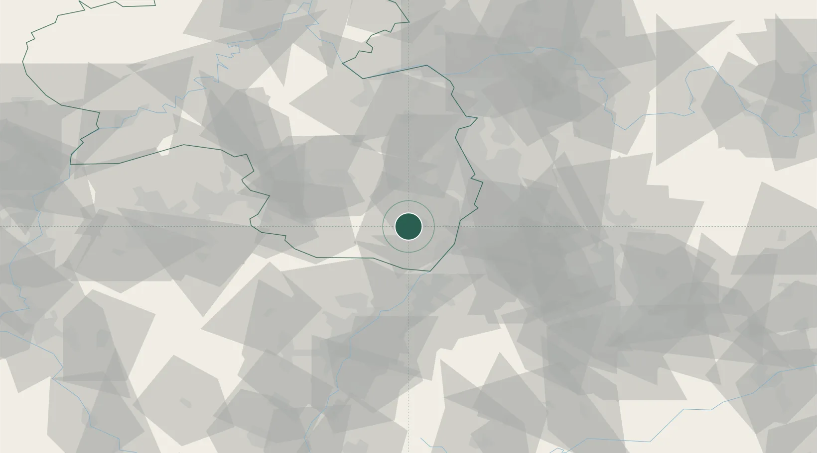
Landau in der Pfalz
49.2000°, 8.1167°
41,612
Population
3
Transport functions
Transport Functions
Port
Rail
Road
Hub Profile
Place type
District seat
Region
Rheinland-Pfalz
Population
41,612
Time zone
Europe/Berlin
Elevation
144 m
Location
Nearby Logistics Neighbours
Cities
- 1Roschbach4 km
- 2Walsheim4 km
- 3Flemlingen4 km
- 4Siebeldingen5 km
- 5Offenbach an der Queich5 km
Airports
- 1Mannheim-City Airport42 km
- 2Ramstein Air Base46 km
- 3Karlsruhe Baden-Baden Airport47 km
- 4Saarbrücken Airport73 km
- 5Strasbourg Airport82 km
Trade Zones
- 1ZFU Hautepierre74 km
- 2ZFU Neuhof78 km
- 3ZFU La Cité Behren-lès-Forbach87 km
- 4ZFU Metz143 km
- 5ZFU Woippy-Metz143 km
DatabookThe Record of Consolidated Knowledge
Germany beyond logistics?