Transport Functions
Multimodal
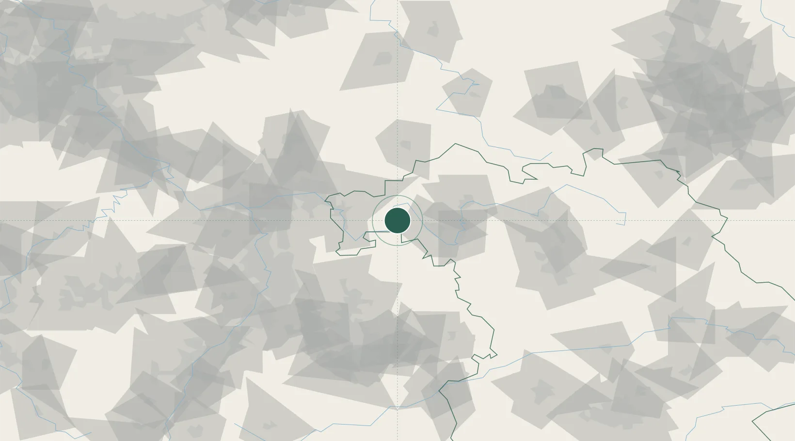
Hub Profile
Place type
Local administrative seat
Region
Bavaria
Population
1,089
Time zone
Europe/Berlin
Elevation
253 m
Location
Nearby Logistics Neighbours
Cities
- 1Erlenbach bei Marktheidenfeld8 km
- 2Steinfeld8 km
- 3Lohr11 km
- 4Hasloch15 km
- 5Thüngersheim16 km
Airports
- 1Niederstetten Army Air Base60 km
- 2Frankfurt-Egelsbach Airport70 km
- 3Frankfurt Main Airport77 km
- 4Adolf Würth Airport86 km
- 5Mannheim-City Airport92 km
Trade Zones
- 1ZFU Hautepierre200 km
- 2ZFU Neuhof201 km
- 3ZFU La Cité Behren-lès-Forbach210 km
- 4Luxembourg Free Port245 km
- 5Rheinische Revier SWZ256 km
DatabookThe Record of Consolidated Knowledge
Germany beyond logistics?