Transport Functions
Port
Rail
Road
Hub Profile
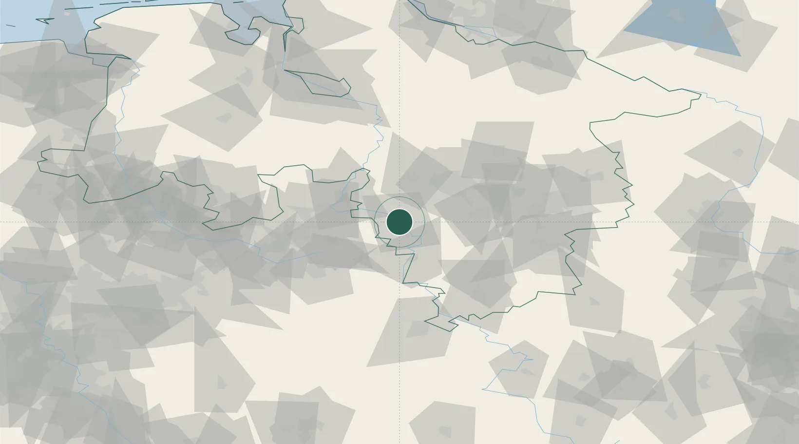
Place type
District seat
Region
Lower Saxony
Population
58,666
Time zone
Europe/Berlin
Elevation
74 m
Location
Nearby Logistics Neighbours
Cities
- 1Emmerthal6 km
- 2Bad Pyrmont15 km
- 3Hehlen15 km
- 4Hulsede17 km
- 5Extertal18 km
Airports
- 1Bückeburg Air Base27 km
- 2Wunstorf Air Base40 km
- 3Hannover Airport46 km
- 4Bielefeld Airport57 km
- 5Celle Army Airfield71 km
Trade Zones
DatabookThe Record of Consolidated Knowledge
Germany beyond logistics?