Transport Functions
Rail
Road
Hub Profile
Place type
Populated place
Region
Lower Saxony
Population
21,629
Time zone
Europe/Berlin
Elevation
113 m
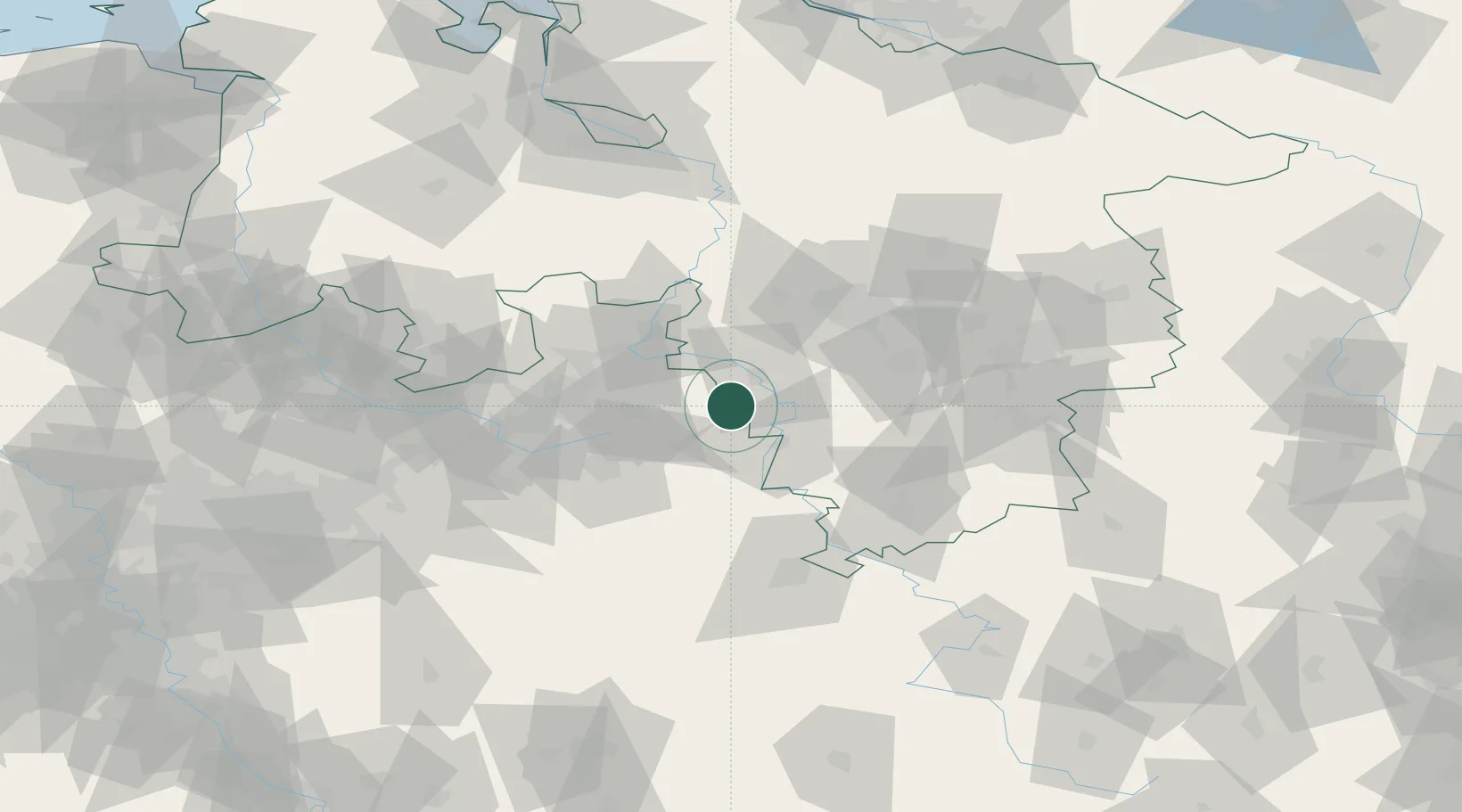
Location
Nearby Logistics Neighbours
Cities
- 1Emmerthal12 km
- 2Extertal14 km
- 3Hameln15 km
- 4Hehlen15 km
- 5Horn-Bad Meinberg19 km
Airports
- 1Bückeburg Air Base35 km
- 2Bielefeld Airport48 km
- 3Wunstorf Air Base54 km
- 4Paderborn Lippstadt Airport60 km
- 5Hannover Airport61 km
Trade Zones
DatabookThe Record of Consolidated Knowledge
Germany beyond logistics?