Transport Functions
Multimodal
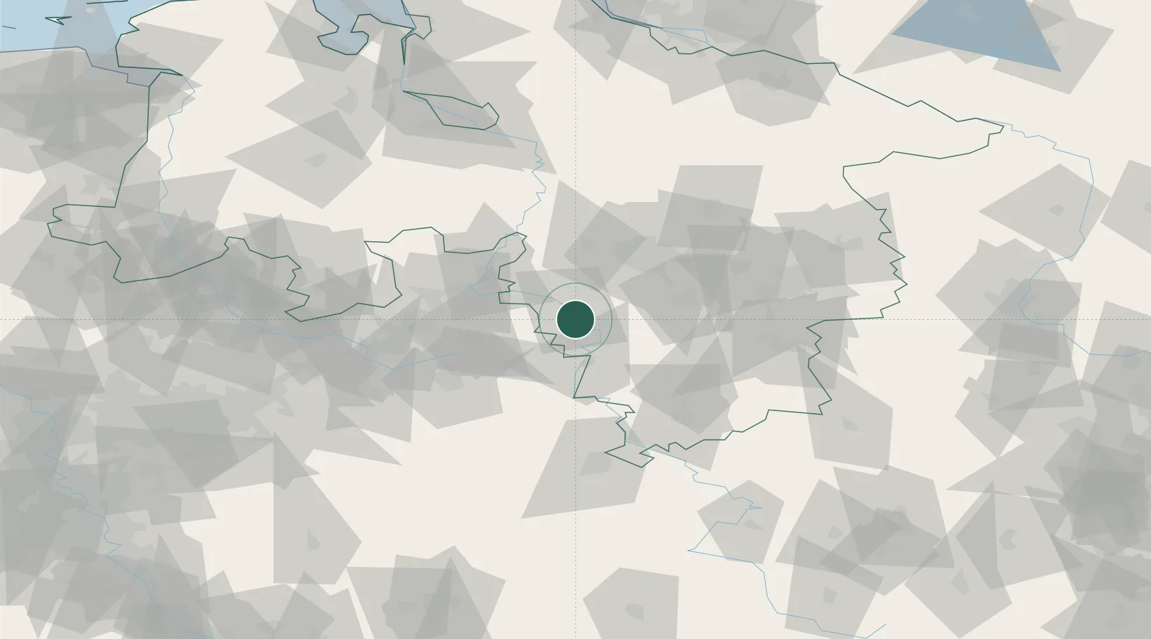
Hub Profile
Place type
Populated place
Region
Bavaria
Time zone
Europe/Berlin
Elevation
400 m
Location
Nearby Logistics Neighbours
Cities
- 1Hameln6 km
- 2Hehlen9 km
- 3Bad Pyrmont12 km
- 4Osterwald18 km
- 5Extertal20 km
Airports
- 1Bückeburg Air Base33 km
- 2Wunstorf Air Base45 km
- 3Hannover Airport50 km
- 4Bielefeld Airport58 km
- 5Kassel Airport70 km
Trade Zones
DatabookThe Record of Consolidated Knowledge
Germany beyond logistics?