Transport Functions
Port
Rail
Road
Hub Profile
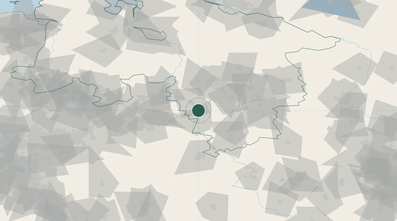
Place type
Local administrative seat
Region
Lower Saxony
Population
2,193
Time zone
Europe/Berlin
Elevation
73 m
Location
Nearby Logistics Neighbours
Cities
- 1Emmerthal9 km
- 2Bad Pyrmont15 km
- 3Hameln15 km
- 4Stadtoldendorf16 km
- 5Duingen16 km
Airports
- 1Bückeburg Air Base42 km
- 2Wunstorf Air Base53 km
- 3Hannover Airport55 km
- 4Kassel Airport63 km
- 5Bielefeld Airport63 km
Trade Zones
DatabookThe Record of Consolidated Knowledge
Germany beyond logistics?