Transport Functions
Rail
Road
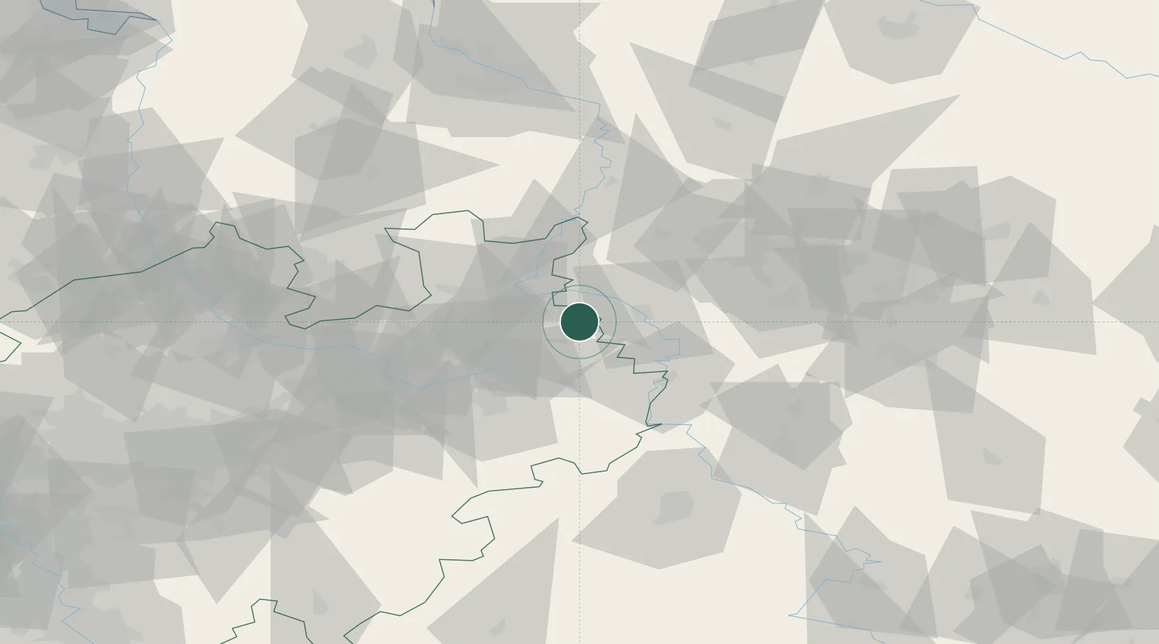
Hub Profile
Place type
Populated place
Region
North Rhine-Westphalia
Time zone
Europe/Berlin
Elevation
203 m
Location
Nearby Logistics Neighbours
Cities
- 1Horn-Bad Meinberg13 km
- 2Rinteln13 km
- 3Bad Pyrmont14 km
- 4Hameln18 km
- 5Luhden19 km
Airports
- 1Bückeburg Air Base24 km
- 2Bielefeld Airport40 km
- 3Wunstorf Air Base49 km
- 4Hannover Airport59 km
- 5Paderborn Lippstadt Airport60 km
Trade Zones
DatabookThe Record of Consolidated Knowledge
Germany beyond logistics?