Transport Functions
Multimodal
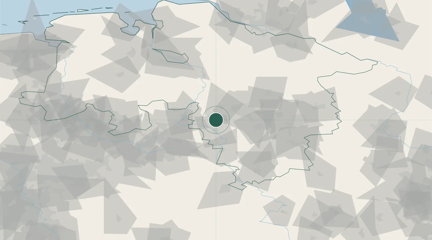
Hub Profile
Place type
Local administrative seat
Region
Lower Saxony
Population
1,087
Time zone
Europe/Berlin
Elevation
109 m
Location
Nearby Logistics Neighbours
Cities
- 1Barsinghausen8 km
- 2Riepen11 km
- 3Springe13 km
- 4Stadthagen14 km
- 5Wennigsen14 km
Airports
- 1Bückeburg Air Base20 km
- 2Wunstorf Air Base23 km
- 3Hannover Airport32 km
- 4Celle Army Airfield58 km
- 5Bielefeld Airport65 km
Trade Zones
DatabookThe Record of Consolidated Knowledge
Germany beyond logistics?