Transport Functions
Multimodal
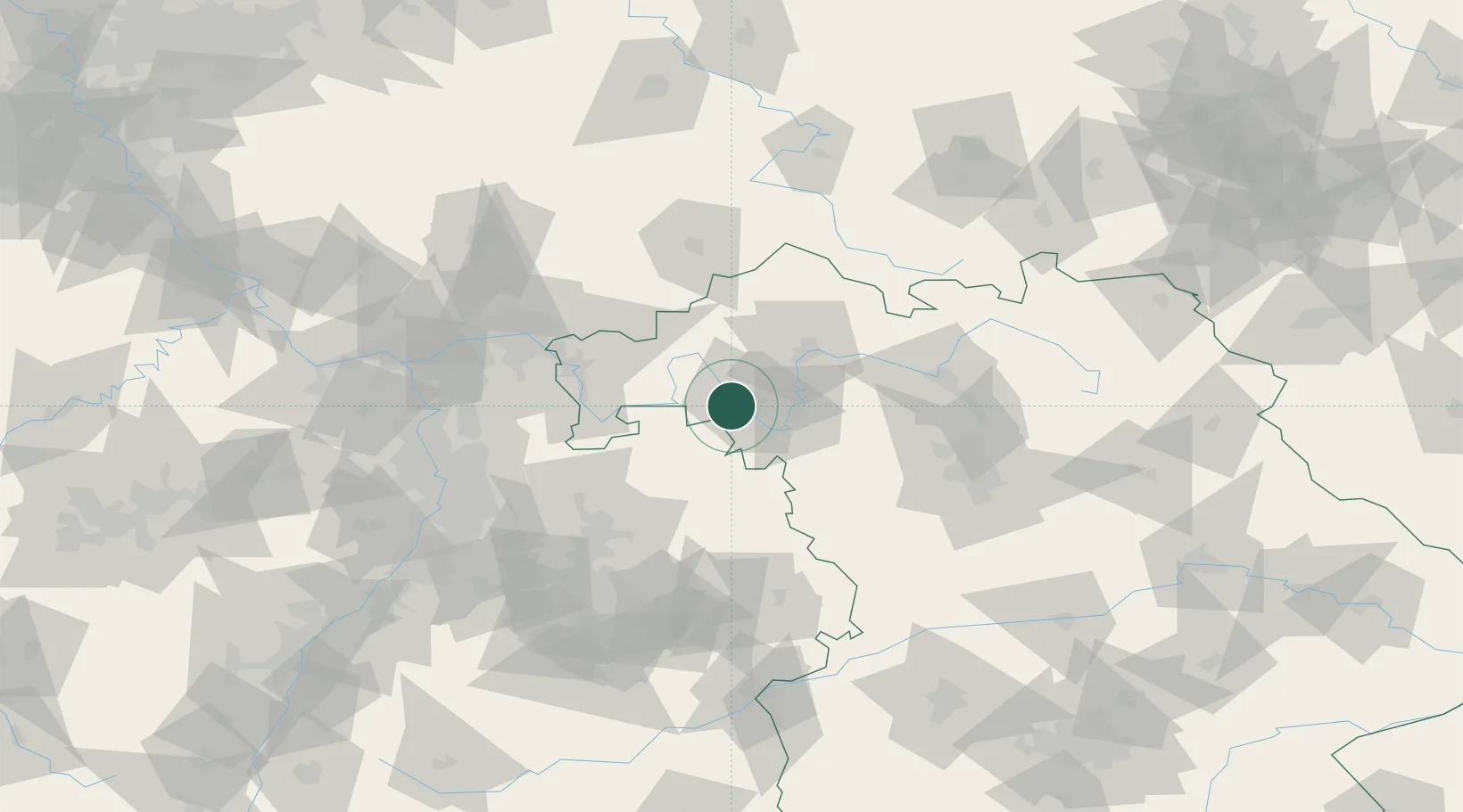
Hub Profile
Place type
Populated place
Region
Bavaria
Population
9,372
Time zone
Europe/Berlin
Elevation
265 m
Location
Nearby Logistics Neighbours
Cities
- 1Waldbüttelbrunn2 km
- 2Zell am Main4 km
- 3Margetshöchheim6 km
- 4Erlabrunn9 km
- 5Thüngersheim10 km
Airports
- 1Niederstetten Army Air Base44 km
- 2Adolf Würth Airport74 km
- 3Bamberg-Breitenau Airfield77 km
- 4Frankfurt-Egelsbach Airport90 km
- 5Nuremberg Airport93 km
Trade Zones
- 1ZFU Hautepierre206 km
- 2ZFU Neuhof206 km
- 3ZFU La Cité Behren-lès-Forbach223 km
- 4Luxembourg Free Port263 km
- 5Rheinische Revier SWZ277 km
DatabookThe Record of Consolidated Knowledge
Germany beyond logistics?