Transport Functions
Multimodal
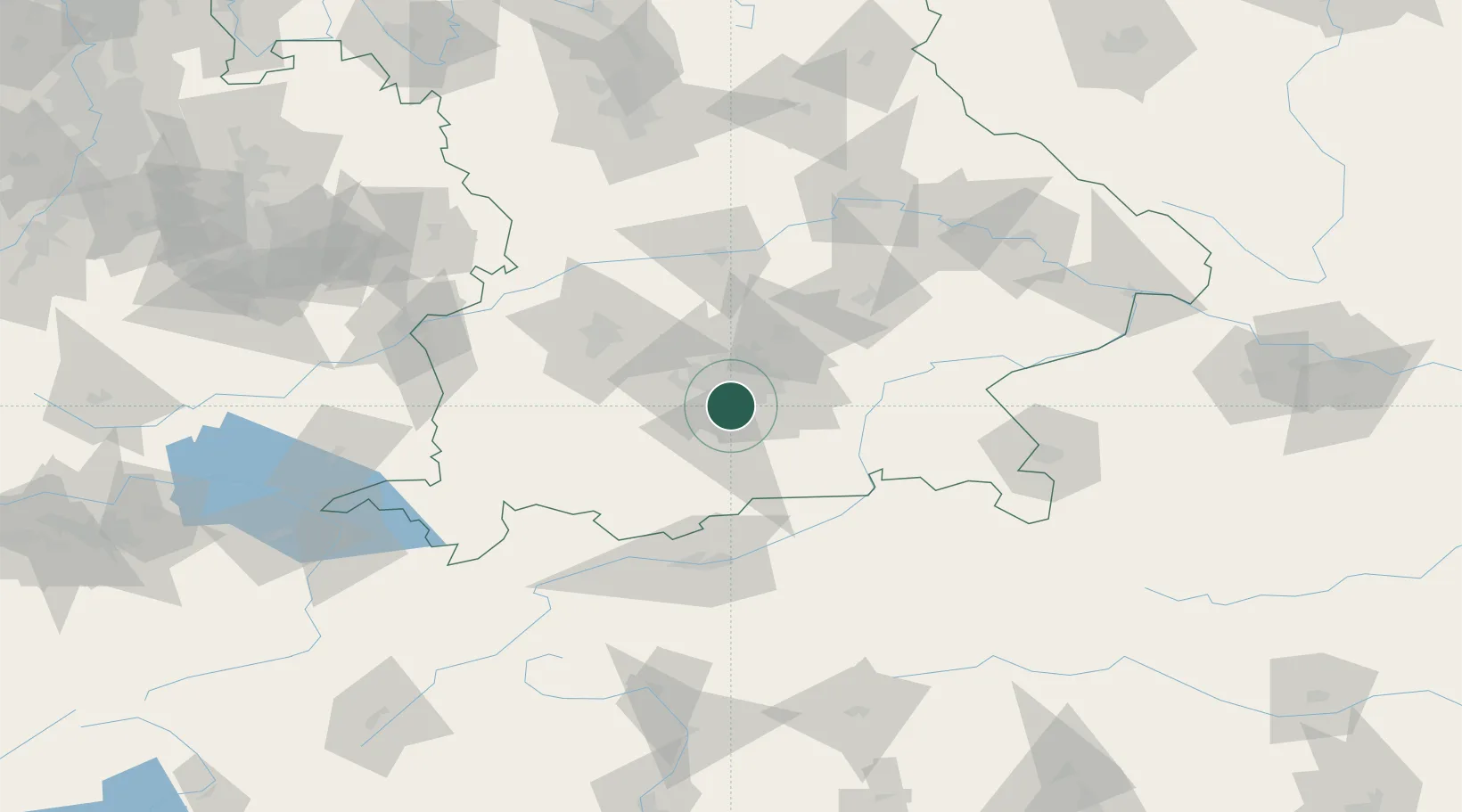
Hub Profile
Place type
Local administrative seat
Region
Bavaria
Population
10,836
Time zone
Europe/Berlin
Elevation
595 m
Location
Nearby Logistics Neighbours
Cities
- 1Furth (München)6 km
- 2Hohenschäftlarn8 km
- 3Unterhaching9 km
- 4Gräfelfing11 km
- 5Icking11 km
Ports
- 1Nogaro282 km
- 2Grado293 km
- 3Monfalcone294 km
- 4Porto Di Lido-Venezia299 km
- 5Trieste315 km
Airports
- 1Oberpfaffenhofen Airport18 km
- 2Altstetten Ultralight Field35 km
- 3Munich Airport41 km
- 4Lechfeld Air Base52 km
- 5Augsburg Airport62 km
Trade Zones
- 1Freeport of Deggendorf137 km
- 2Livigno Free Trade Zone198 km
- 3Podbořany Industrial Zone280 km
- 4ZFU Neuhof283 km
- 5ZFU Hautepierre290 km
DatabookThe Record of Consolidated Knowledge
Germany beyond logistics?