Transport Functions
Rail
Road
Hub Profile
Place type
Local administrative seat
Region
Bavaria
Population
20,852
Time zone
Europe/Berlin
Elevation
562 m
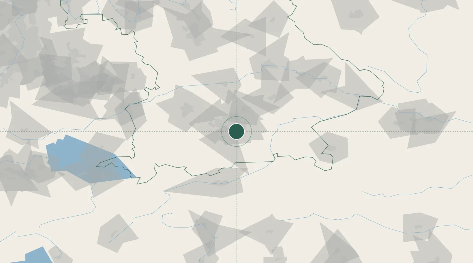
Location
Nearby Logistics Neighbours
Cities
- 1Riemerling3 km
- 2Furth (München)3 km
- 3Brunnthal5 km
- 4Hohenkirchen6 km
- 5Siegertsbrunn8 km
Ports
- 1Nogaro280 km
- 2Grado291 km
- 3Monfalcone291 km
- 4Porto Di Lido-Venezia299 km
- 5Trieste311 km
Airports
- 1Oberpfaffenhofen Airport26 km
- 2Munich Airport36 km
- 3Altstetten Ultralight Field38 km
- 4Lechfeld Air Base59 km
- 5Landshut Airfield59 km
Trade Zones
- 1Freeport of Deggendorf129 km
- 2Livigno Free Trade Zone205 km
- 3Podbořany Industrial Zone274 km
- 4ZFU Neuhof291 km
- 5Žatec - Triangle Strategic Industrial Zone295 km
DatabookThe Record of Consolidated Knowledge
Germany beyond logistics?