Transport Functions
Multimodal
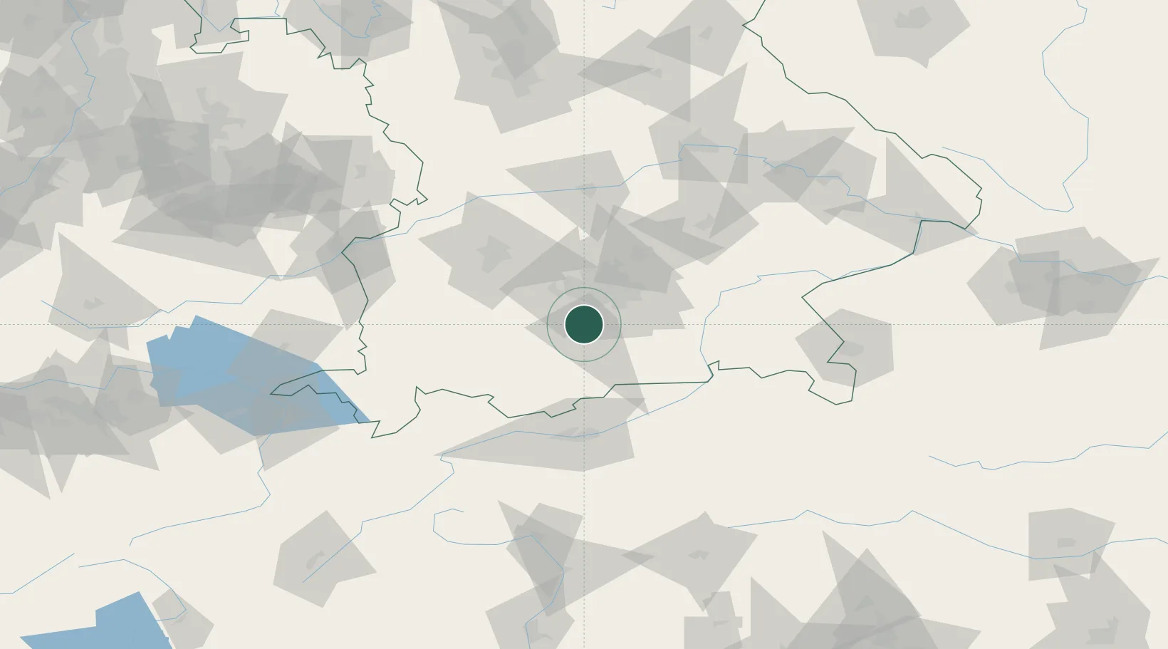
Hub Profile
Place type
Local administrative seat
Region
Bavaria
Population
3,586
Time zone
Europe/Berlin
Elevation
654 m
Location
Nearby Logistics Neighbours
Cities
- 1Hohenschäftlarn4 km
- 2Ammerland9 km
- 3Grünwald11 km
- 4Feldafing11 km
- 5Furth (München)16 km
Ports
- 1Nogaro277 km
- 2Grado288 km
- 3Monfalcone290 km
- 4Porto Di Lido-Venezia292 km
- 5Porto Di Chioggia309 km
Airports
- 1Oberpfaffenhofen Airport18 km
- 2Altstetten Ultralight Field41 km
- 3Lechfeld Air Base50 km
- 4Munich Airport52 km
- 5Augsburg Airport65 km
Trade Zones
- 1Freeport of Deggendorf148 km
- 2Livigno Free Trade Zone187 km
- 3ZFU Neuhof280 km
- 4ZFU Hautepierre286 km
- 5Consorzio Zona Industriale e Porto Fluviale di Padova287 km
DatabookThe Record of Consolidated Knowledge
Germany beyond logistics?