Transport Functions
Rail
Road
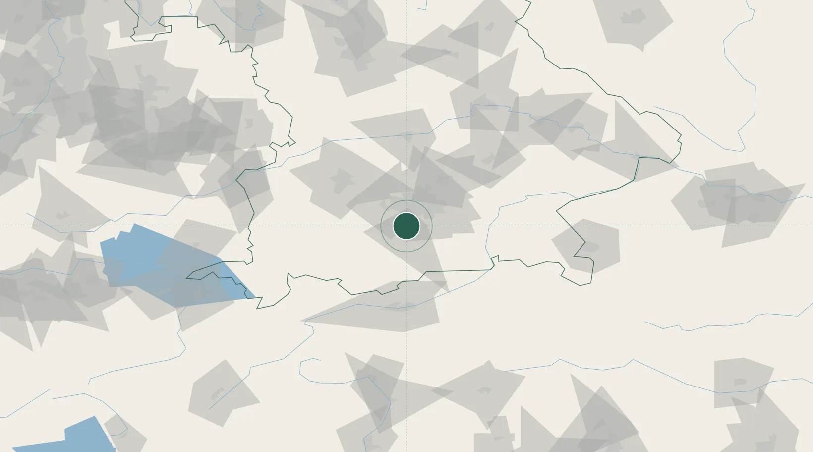
Hub Profile
Place type
Populated place
Region
Bavaria
Time zone
Europe/Berlin
Elevation
657 m
Location
Nearby Logistics Neighbours
Cities
- 1Icking4 km
- 2Grünwald8 km
- 3Furth (München)13 km
- 4Ammerland13 km
- 5Feldafing14 km
Ports
- 1Nogaro280 km
- 2Grado291 km
- 3Monfalcone292 km
- 4Porto Di Lido-Venezia295 km
- 5Porto Di Chioggia313 km
Airports
- 1Oberpfaffenhofen Airport17 km
- 2Altstetten Ultralight Field38 km
- 3Munich Airport48 km
- 4Lechfeld Air Base49 km
- 5Augsburg Airport62 km
Trade Zones
- 1Freeport of Deggendorf144 km
- 2Livigno Free Trade Zone191 km
- 3ZFU Neuhof280 km
- 4ZFU Hautepierre286 km
- 5Podbořany Industrial Zone287 km
DatabookThe Record of Consolidated Knowledge
Germany beyond logistics?