Transport Functions
Rail
Road
Hub Profile
Place type
Local administrative seat
Region
Bavaria
Population
12,978
Time zone
Europe/Berlin
Elevation
543 m
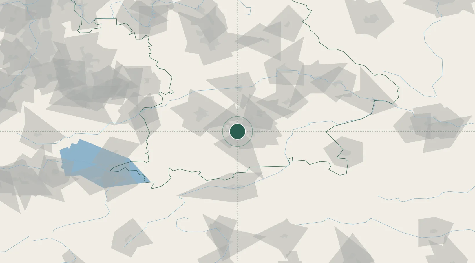
Location
Nearby Logistics Neighbours
Cities
- 1Germering5 km
- 2Allach9 km
- 3Eichenau10 km
- 4Gröbenzell11 km
- 5Grünwald11 km
Ports
- 1Nogaro293 km
- 2Grado304 km
- 3Monfalcone305 km
- 4Porto Di Lido-Venezia310 km
- 5Trieste326 km
Airports
- 1Oberpfaffenhofen Airport12 km
- 2Altstetten Ultralight Field24 km
- 3Munich Airport37 km
- 4Lechfeld Air Base43 km
- 5Augsburg Airport51 km
Trade Zones
- 1Freeport of Deggendorf136 km
- 2Livigno Free Trade Zone203 km
- 3Podbořany Industrial Zone275 km
- 4ZFU Neuhof275 km
- 5ZFU Hautepierre282 km
DatabookThe Record of Consolidated Knowledge
Germany beyond logistics?