UN/LOCODE hub · Germany
DEFUM

Furth (München)

48.0333°, 11.6000°
2
Transport functions

Transport Functions

Rail
Road
UN/LOCODE

Hub Profile

Region
BY
GeoNames

Location

Location of DEFUM
Natural Earth 10m (public domain) · BY · DEFUM · 48.03, 11.60GoogleOSMYandex

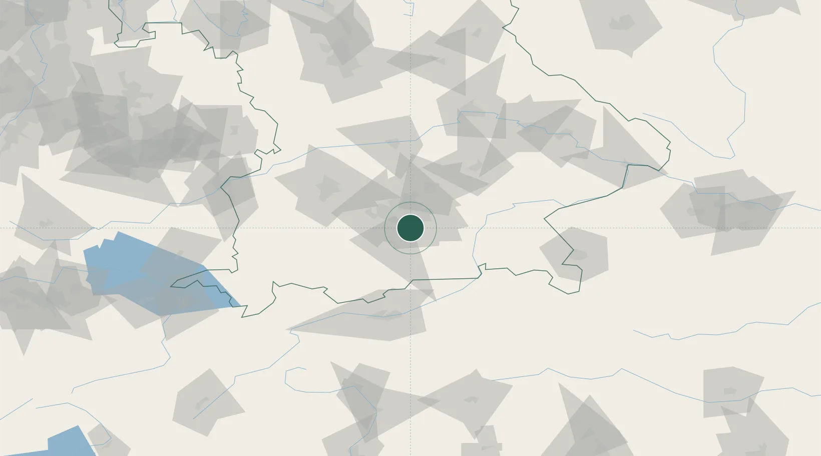
Nearby Logistics Neighbours

Cities
  1. 1Unterhaching3 km
  2. 2Riemerling6 km
  3. 3Grünwald6 km
  4. 4Brunnthal7 km
  5. 5Hohenkirchen8 km
Nearest neighbours — logibook spatial index (haversine) over the source coordinates
Ports
  1. 1Nogaro280 km
  2. 2Grado290 km
  3. 3Monfalcone291 km
  4. 4Porto Di Lido-Venezia298 km
  5. 5Trieste311 km
Nearest neighbours — logibook spatial index (haversine) over the source coordinates
Airports
  1. 1Oberpfaffenhofen Airport24 km
  2. 2Munich Airport38 km
  3. 3Altstetten Ultralight Field38 km
  4. 4Lechfeld Air Base57 km
  5. 5Landshut Airfield62 km
Nearest neighbours — logibook spatial index (haversine) over the source coordinates
Trade Zones
  1. 1Freeport of Deggendorf132 km
  2. 2Livigno Free Trade Zone202 km
  3. 3Podbořany Industrial Zone277 km
  4. 4ZFU Neuhof289 km
  5. 5Free Port of Venice294 km
Nearest neighbours — logibook spatial index (haversine) over the source coordinates
DatabookThe Record of Consolidated Knowledge
Germany beyond logistics?
Browse databook

All Sources

LocationsUN/LOCODE
UN/LOCODE — free
Portsthe NGA World Port Index
Public domain (US gov)
AirportsOurAirports
Public domain
Trade Zonesthe World Bank SEZ database
CC BY 4.0
Trade ZonesOpen Zone Map
CC BY
← Germany locations