Transport Functions
Rail
Road
Hub Profile
Region
ST
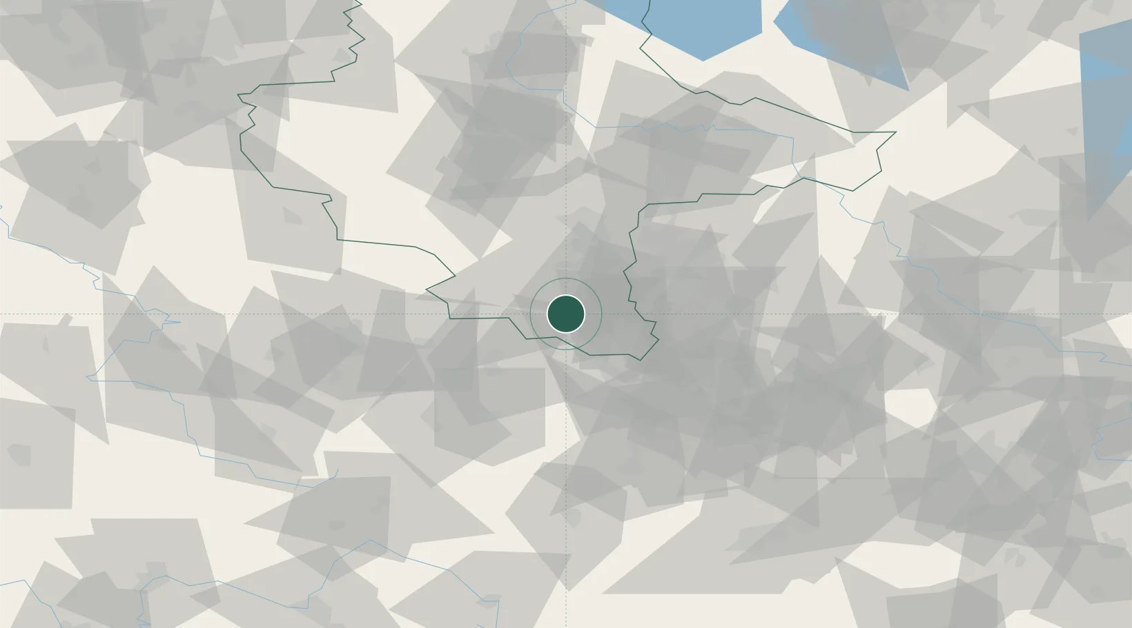
Location
Nearby Logistics Neighbours
Cities
- 1Schleinitz4 km
- 2Osterfeld6 km
- 3Meineweh7 km
- 4Teuchern8 km
- 5Weissenfels10 km
Ports
- 1Hamburg302 km
- 2Bremen310 km
- 3Wismar311 km
- 4Lubeck318 km
- 5Lubeck-Travemunde324 km
Airports
- 1Leipzig/Halle Airport41 km
- 2Leipzig–Altenburg Airport45 km
- 3Erfurt-Weimar Airport67 km
- 4Hof-Plauen Airport92 km
- 5Zerbst Airfield100 km
Trade Zones
DatabookThe Record of Consolidated Knowledge
Germany beyond logistics?