Transport Functions
Rail
Road
Hub Profile
Place type
Populated place
Region
Saxony-Anhalt
Population
29,792
Time zone
Europe/Berlin
Elevation
102 m
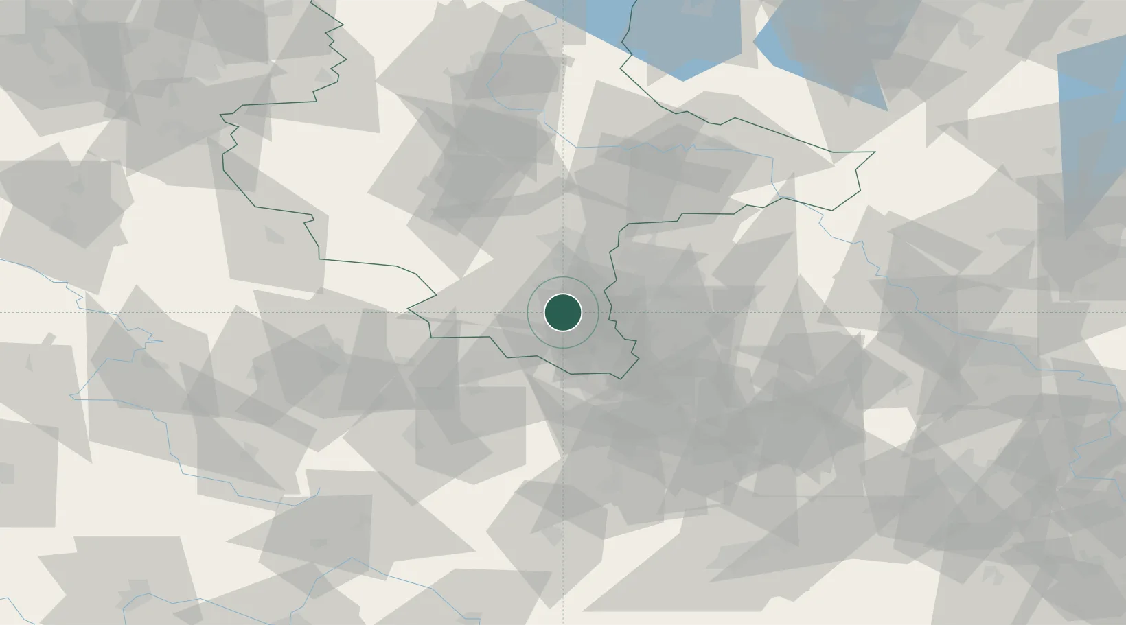
Location
Nearby Logistics Neighbours
Cities
- 1Rossbach, Merseburg-Querfurt7 km
- 2Grosskayna9 km
- 3Teuchern10 km
- 4Görschen10 km
- 5Bad Dürrenberg11 km
Ports
- 1Hamburg296 km
- 2Wismar302 km
- 3Bremen306 km
- 4Lubeck310 km
- 5Lubeck-Travemunde316 km
Airports
- 1Leipzig/Halle Airport31 km
- 2Leipzig–Altenburg Airport45 km
- 3Erfurt-Weimar Airport75 km
- 4Zerbst Airfield90 km
- 5Hof-Plauen Airport102 km
Trade Zones
DatabookThe Record of Consolidated Knowledge
Germany beyond logistics?