Transport Functions
Rail
Road
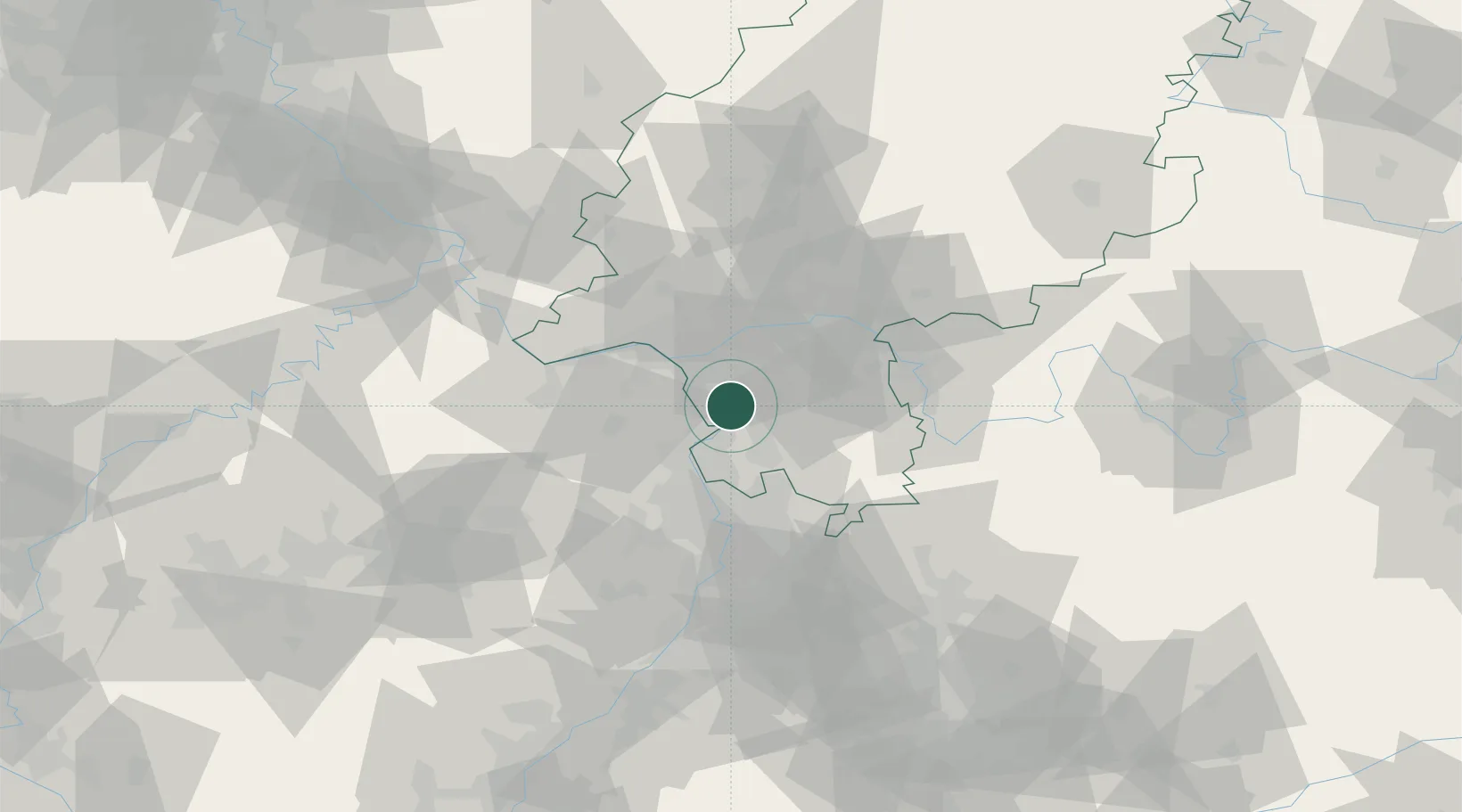
Hub Profile
Place type
Populated place
Region
Hesse
Population
21,362
Time zone
Europe/Berlin
Elevation
93 m
Location
Nearby Logistics Neighbours
Cities
- 1Lorzweiler6 km
- 2Gernsheim9 km
- 3Gross-Gerau9 km
- 4Ludwigshöhe11 km
- 5Bickenbach12 km
Airports
- 1Frankfurt-Egelsbach Airport17 km
- 2Frankfurt Main Airport22 km
- 3Wiesbaden Army Airfield27 km
- 4Mainz-Finthen Airfield29 km
- 5Mannheim-City Airport40 km
Trade Zones
- 1ZFU La Cité Behren-lès-Forbach136 km
- 2ZFU Hautepierre150 km
- 3ZFU Neuhof153 km
- 4Luxembourg Free Port165 km
- 5ZFU Woippy-Metz186 km
DatabookThe Record of Consolidated Knowledge
Germany beyond logistics?