Transport Functions
Port
Road
Hub Profile
Place type
Populated place
Region
Hesse
Time zone
Europe/Berlin
Elevation
199 m
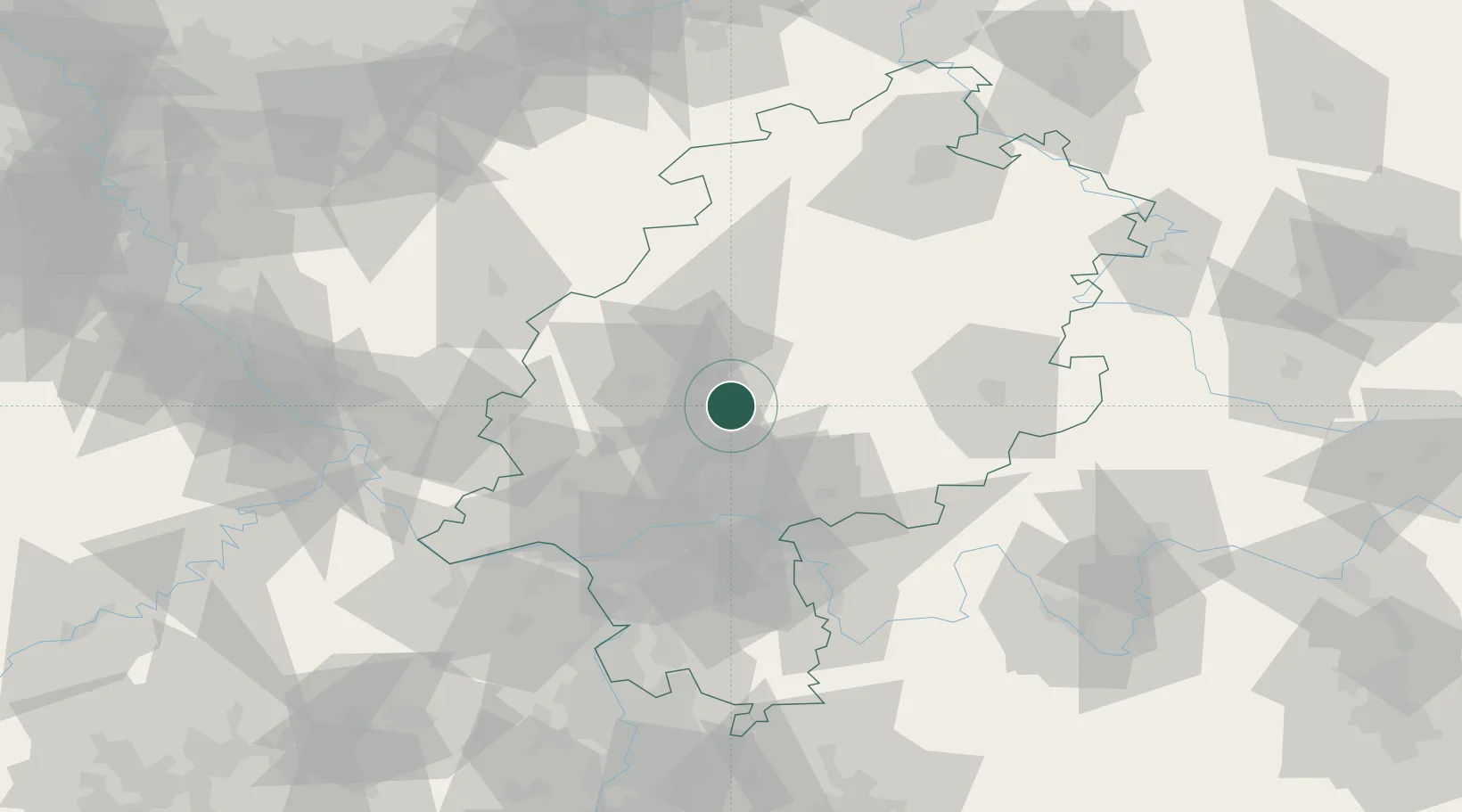
Location
Nearby Logistics Neighbours
Cities
- 1Lich2 km
- 2Wölfersheim11 km
- 3Grossen Buseck11 km
- 4Linden12 km
- 5Langgöns12 km
Airports
- 1Frankfurt Main Airport56 km
- 2Siegerland Airport57 km
- 3Wiesbaden Army Airfield61 km
- 4Frankfurt-Egelsbach Airport61 km
- 5Fritzlar Army Airfield76 km
Trade Zones
- 1Rheinische Revier SWZ178 km
- 2Freeport of Duisburg188 km
- 3ZFU La Cité Behren-lès-Forbach201 km
- 4Luxembourg Free Port208 km
- 5ZFU Hautepierre227 km
DatabookThe Record of Consolidated Knowledge
Germany beyond logistics?