Transport Functions
Road
Multimodal
Hub Profile
Place type
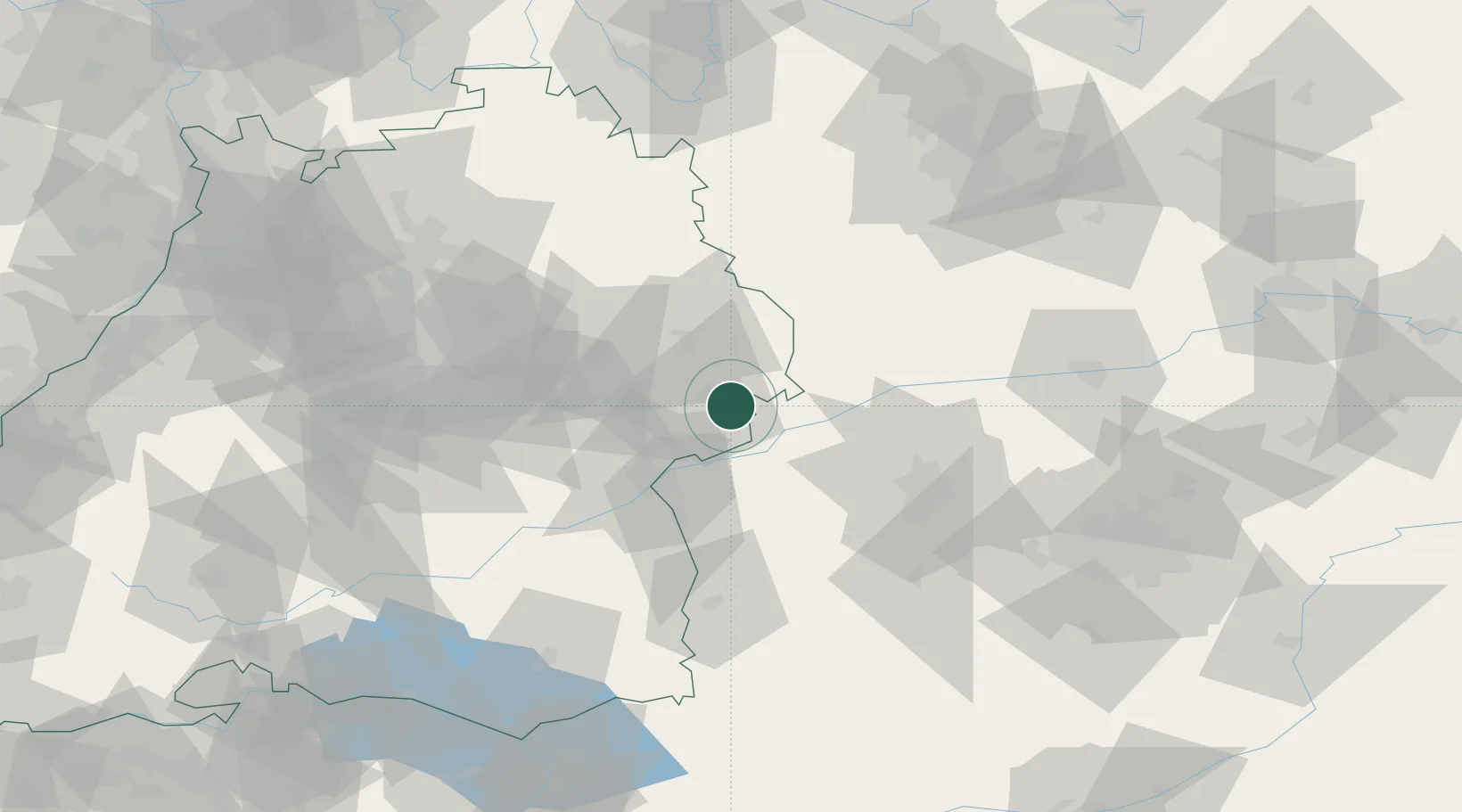
Populated place
Region
Bavaria
Time zone
Europe/Berlin
Elevation
546 m
Location
Nearby Logistics Neighbours
Cities
- 1Staufen2 km
- 2Giengen4 km
- 3Heidenheim an der Brenz8 km
- 4Steinweiler9 km
- 5Niederstotzingen11 km
Ports
- 1Nogaro390 km
- 2Porto Di Lido-Venezia396 km
- 3Grado401 km
- 4Monfalcone405 km
- 5Porto Di Chioggia411 km
Airports
- 1Laupheim Air Base54 km
- 2Augsburg Airport56 km
- 3Adolf Würth Airport62 km
- 4Lechfeld Air Base69 km
- 5Neuburg Air Base71 km
Trade Zones
- 1ZFU Neuhof183 km
- 2ZFU Hautepierre188 km
- 3Freeport of Deggendorf196 km
- 4Livigno Free Trade Zone236 km
- 5ZFU Mulhouse238 km
DatabookThe Record of Consolidated Knowledge
Germany beyond logistics?