UN/LOCODE hub · Germany
DESNM
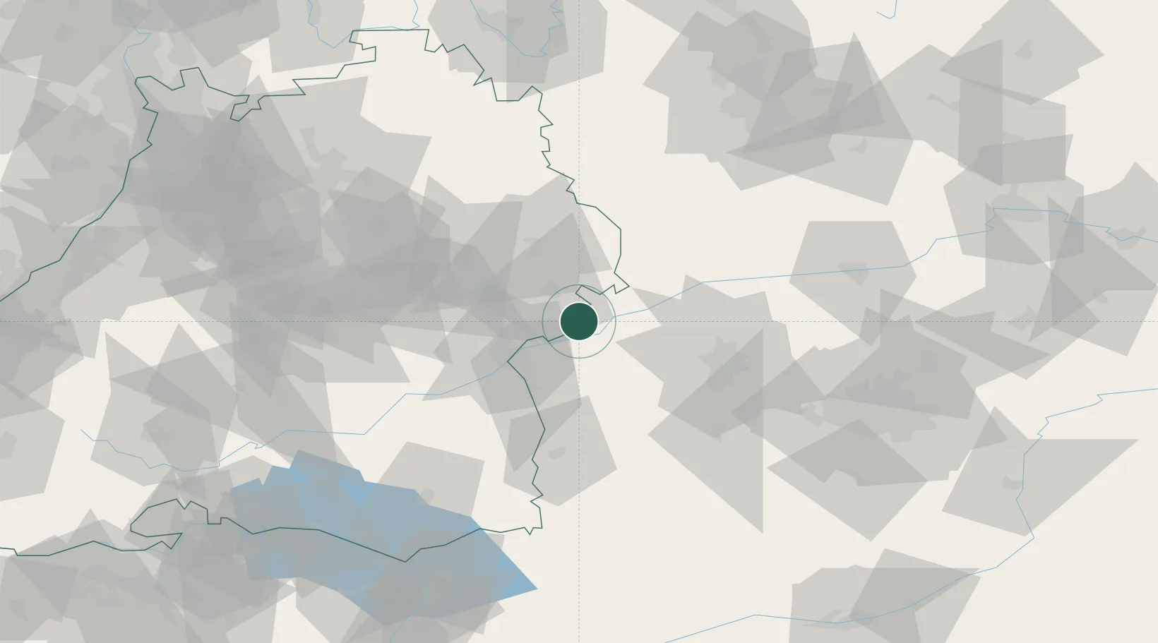
Sontheim an der Brenz
48.5500°, 10.2833°
5,656
Population
2
Transport functions
Transport Functions
Rail
Road
Hub Profile
Place type
Local administrative seat
Region
Baden-Wurttemberg
Population
5,656
Time zone
Europe/Berlin
Elevation
443 m
Location
Nearby Logistics Neighbours
Cities
- 1Baechingen2 km
- 2Niederstotzingen4 km
- 3Giengen9 km
- 4Rammingen9 km
- 5Syrgenstein11 km
Ports
- 1Nogaro379 km
- 2Porto Di Lido-Venezia385 km
- 3Grado391 km
- 4Monfalcone394 km
- 5Porto Di Chioggia399 km
Airports
- 1Laupheim Air Base46 km
- 2Augsburg Airport50 km
- 3Lechfeld Air Base59 km
- 4Memmingen Allgau Airport63 km
- 5Neuburg Air Base71 km
Trade Zones
- 1ZFU Neuhof186 km
- 2ZFU Hautepierre191 km
- 3Freeport of Deggendorf195 km
- 4Livigno Free Trade Zone225 km
- 5ZFU Mulhouse236 km
DatabookThe Record of Consolidated Knowledge
Germany beyond logistics?