Transport Functions
Rail
Road
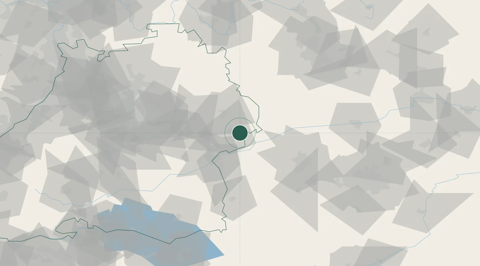
Hub Profile
Place type
Populated place
Region
Bavaria
Time zone
Europe/Berlin
Elevation
501 m
Location
Nearby Logistics Neighbours
Cities
- 1Syrgenstein2 km
- 2Giengen6 km
- 3Steinweiler7 km
- 4Heidenheim an der Brenz9 km
- 5Wittislingen12 km
Ports
- 1Nogaro391 km
- 2Porto Di Lido-Venezia397 km
- 3Grado402 km
- 4Monfalcone405 km
- 5Porto Di Chioggia412 km
Airports
- 1Augsburg Airport56 km
- 2Laupheim Air Base56 km
- 3Adolf Würth Airport61 km
- 4Lechfeld Air Base69 km
- 5Neuburg Air Base70 km
Trade Zones
- 1ZFU Neuhof185 km
- 2ZFU Hautepierre189 km
- 3Freeport of Deggendorf194 km
- 4Livigno Free Trade Zone238 km
- 5ZFU Mulhouse240 km
DatabookThe Record of Consolidated Knowledge
Germany beyond logistics?