Transport Functions
Port
Rail
Road
Hub Profile
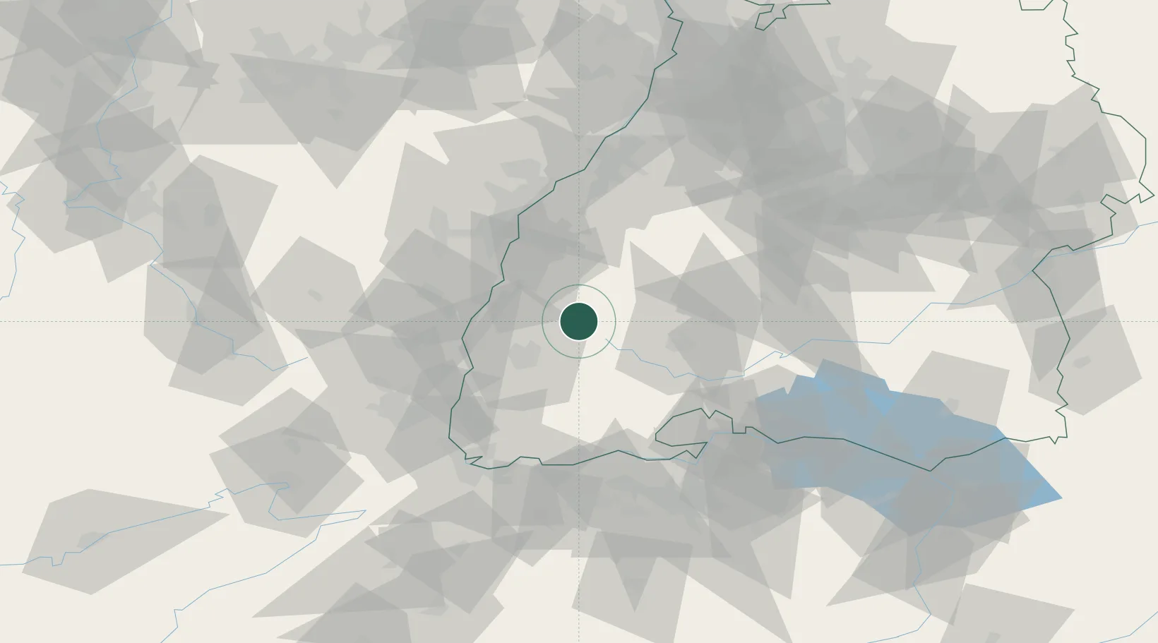
Place type
Populated place
Region
Baden-Wurttemberg
Population
7,088
Time zone
Europe/Berlin
Elevation
356 m
Location
Nearby Logistics Neighbours
Cities
- 1Haslach im Kinzigtal13 km
- 2Schuttertal13 km
- 3Gütenbach14 km
- 4Gutach (Schwarzwaldbahn)15 km
- 5Steinach (Ortenaukreis)15 km
Ports
- 1Bruxelles403 km
- 2Genova424 km
- 3Savona429 km
- 4Antwerpen430 km
- 5Rada Di Vado435 km
Airports
- 1Lahr Airport29 km
- 2Donaueschingen-Villingen Airfield40 km
- 3Strasbourg Airport53 km
- 4Colmar Houssen airport53 km
- 5Karlsruhe Baden-Baden Airport68 km
Trade Zones
- 1ZFU Neuhof47 km
- 2ZFU Hautepierre55 km
- 3ZFU Mulhouse72 km
- 4ZFU Belfort110 km
- 5ZFU Montbéliard121 km
DatabookThe Record of Consolidated Knowledge
Germany beyond logistics?