Transport Functions
Rail
Road
Hub Profile
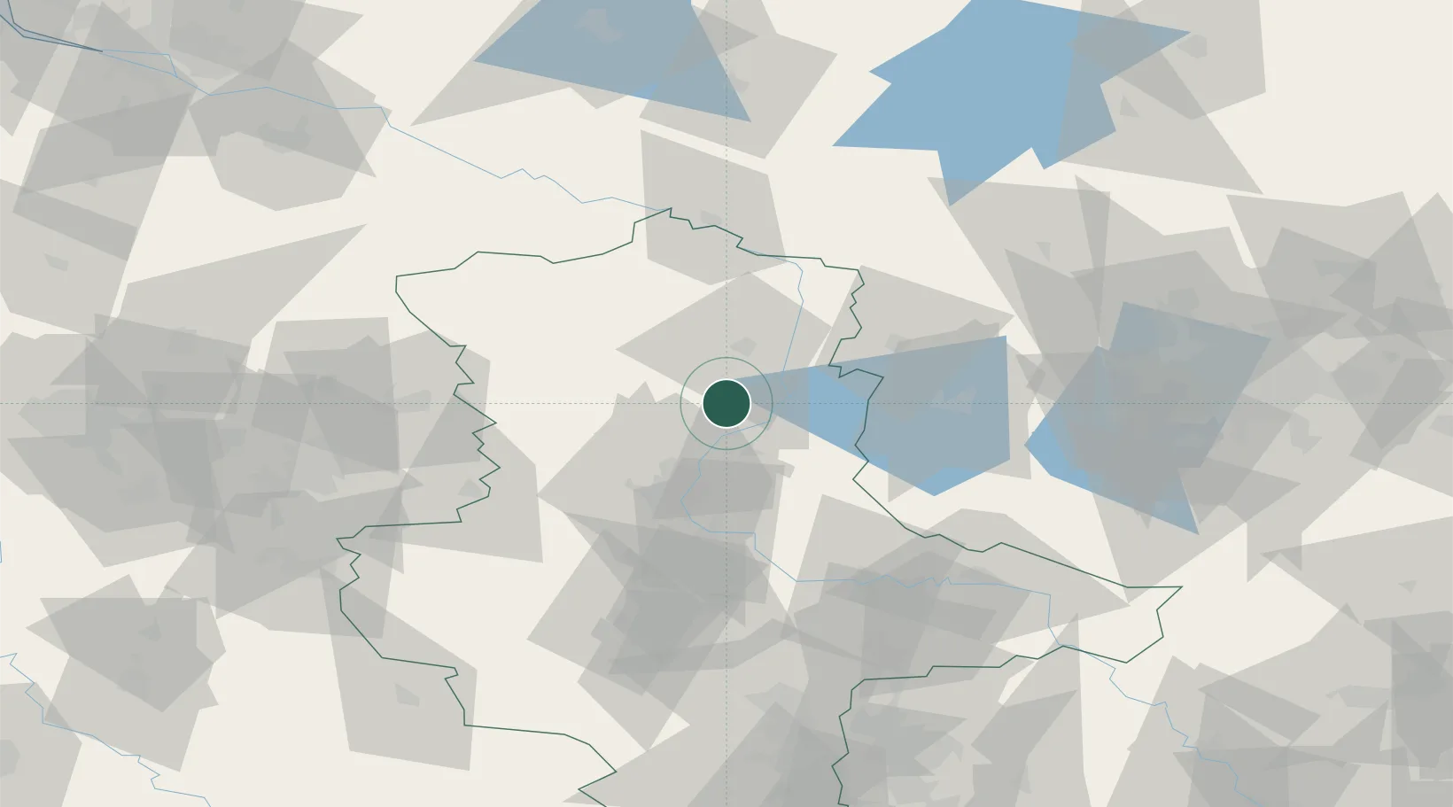
Region
ST
Location
Nearby Logistics Neighbours
Cities
- 1Bertingen10 km
- 2Schelldorf13 km
- 3Rogätz13 km
- 4Ferchland14 km
- 5Gusen15 km
Ports
- 1Wismar165 km
- 2Hamburg176 km
- 3Lubeck177 km
- 4Lubeck-Travemunde181 km
- 5Rostock187 km
Airports
- 1Zerbst Airfield54 km
- 2Braunschweig-Wolfsburg Airport85 km
- 3Berlin Brandenburg Airport116 km
- 4Leipzig/Halle Airport116 km
- 5Holzdorf Air Base119 km
Trade Zones
- 1Kostrzyń-Słubice SEZ193 km
- 2Szczecin Duty Free Zone216 km
- 3Freeport of Bremerhaven (Freihafen Bremerhaven)216 km
- 4Swinoujscie Duty Free Zone232 km
- 5Freeport of Kiel237 km
DatabookThe Record of Consolidated Knowledge
Germany beyond logistics?