Transport Functions
Road
Multimodal
Hub Profile
Region
BW
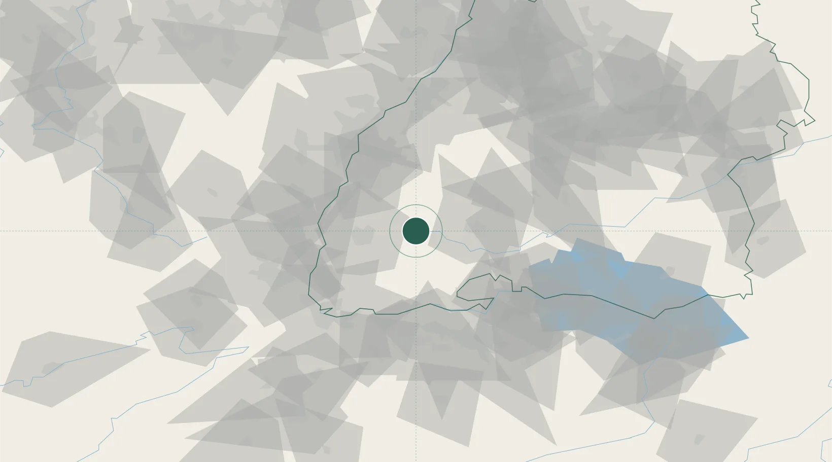
Location
Nearby Logistics Neighbours
Cities
- 1Langenbach10 km
- 2Buchenbach14 km
- 3Elzach14 km
- 4Sankt Georgen im Schwarzwald17 km
- 5Unterkirnach17 km
Ports
- 1Genova410 km
- 2Savona416 km
- 3Bruxelles417 km
- 4Rada Di Vado422 km
- 5Chiavari - Lavagna426 km
Airports
- 1Donaueschingen-Villingen Airfield29 km
- 2Lahr Airport43 km
- 3Colmar Houssen airport59 km
- 4Strasbourg Airport67 km
- 5EuroAirport Basel–Mulhouse–Freiburg69 km
Trade Zones
- 1ZFU Neuhof62 km
- 2ZFU Mulhouse69 km
- 3ZFU Hautepierre69 km
- 4ZFU Belfort110 km
- 5ZFU Montbéliard119 km
DatabookThe Record of Consolidated Knowledge
Germany beyond logistics?