Transport Functions
Port
Rail
Road
Hub Profile
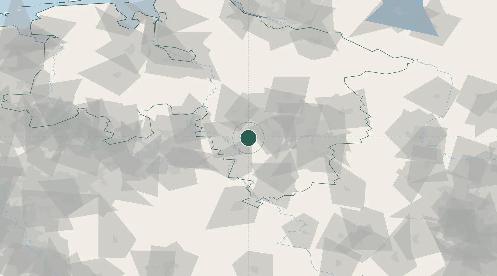
Place type
Populated place
Region
Lower Saxony
Time zone
Europe/Berlin
Elevation
193 m
Location
Nearby Logistics Neighbours
Airports
- 1Hannover Airport39 km
- 2Wunstorf Air Base40 km
- 3Bückeburg Air Base41 km
- 4Celle Army Airfield60 km
- 5Braunschweig-Wolfsburg Airport68 km
Trade Zones
DatabookThe Record of Consolidated Knowledge
Germany beyond logistics?