Transport Functions
Rail
Road
Airport
Hub Profile
Place type
Populated place
Region
Bavaria
Time zone
Europe/Berlin
Elevation
452 m
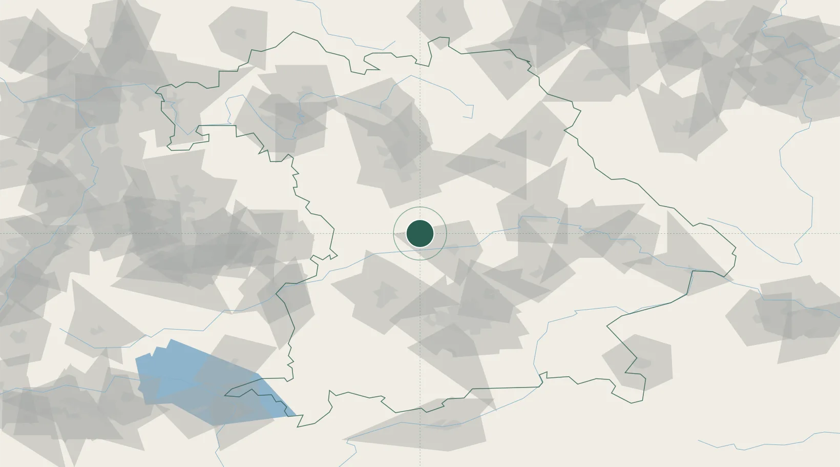
Location
Nearby Logistics Neighbours
Cities
- 1Workerszell6 km
- 2Petersbuch11 km
- 3Eitensheim12 km
- 4Buxheim, Unterallgäu13 km
- 5Mörnsheim13 km
Ports
- 1Nogaro378 km
- 2Monfalcone388 km
- 3Grado389 km
- 4Porto Di Lido-Venezia397 km
- 5Trieste408 km
Airports
- 1Neuburg Air Base19 km
- 2Ingolstadt Manching Airport32 km
- 3Augsburg Airport54 km
- 4Hohenfels Army Airfield60 km
- 5Altstetten Ultralight Field65 km
Trade Zones
- 1Freeport of Deggendorf126 km
- 2Podbořany Industrial Zone219 km
- 3Žatec - Triangle Strategic Industrial Zone238 km
- 4Most - Joseph Industrial Zone251 km
- 5ZFU Neuhof254 km
DatabookThe Record of Consolidated Knowledge
Germany beyond logistics?